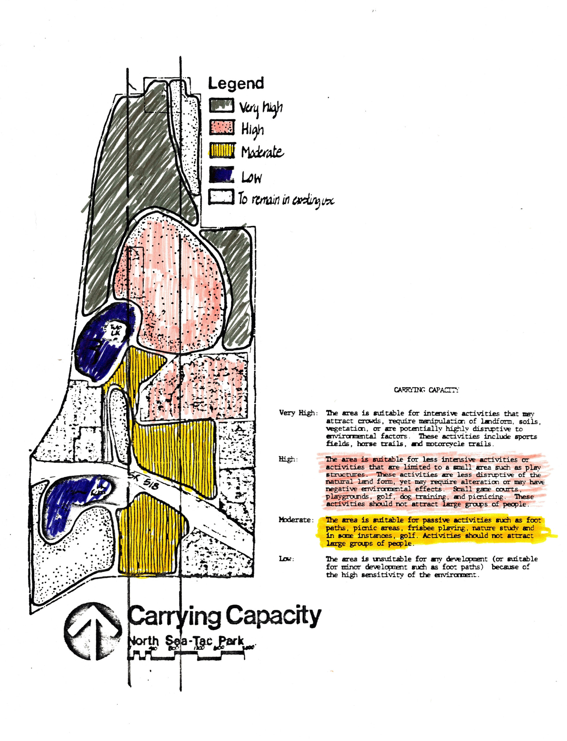
A hand-colored land-use planning map for North Sea-Tac Park classifying parcels by carrying capacity: Very High (suitable for intensive activities such as sports fields and horse trails), High (small-area activities like playgrounds and golf), Moderate (passive uses such as foot paths and picnicking), and Low (unsuitable for development due to environmental sensitivity). The 'High' and 'Moderate' categories are highlighted, and a scale bar is visible at the bottom of the map.Open full document
Notes
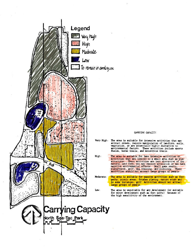
A hand-colored land-use planning map for North Sea-Tac Park classifying parcels by carrying capacity: Very High (suitable for intensive activities such as sports fields and horse trails), High (small-area activities like playgrounds and golf), Moderate (passive uses such as foot paths and picnicking), and Low (unsuitable for development due to environmental sensitivity). The ‘High’ and ‘Moderate’ categories are highlighted, and a scale bar is visible at the bottom of the map.