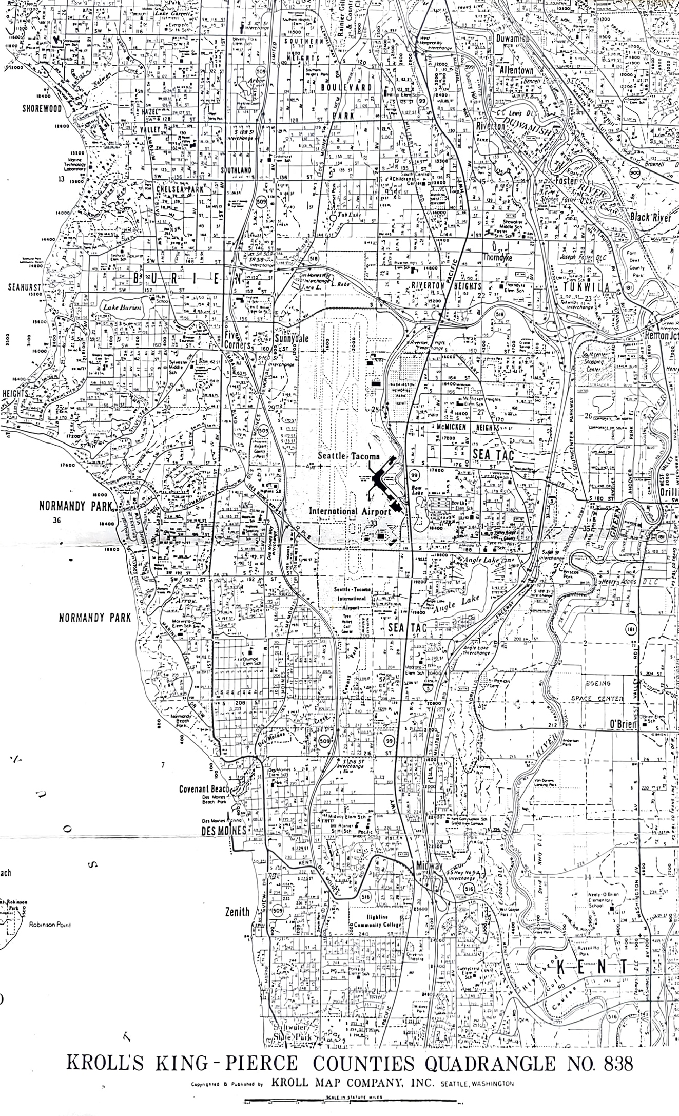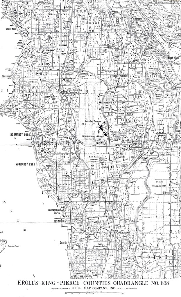
A detailed black-and-white street map published by Kroll Map Company, Inc. of Seattle, Washington, covering the area surrounding Seattle-Tacoma International Airport (Sea-Tac). The map shows surrounding communities including Burien, Tukwila, Normandy Park, Des Moines, SeaTac, and Kent, along with road networks, neighborhood names, and the airport footprint.Open full document
Notes
A detailed black-and-white street map published by Kroll Map Company, Inc. of Seattle, Washington, covering the area surrounding Seattle-Tacoma International Airport (Sea-Tac). The map shows surrounding communities including Burien, Tukwila, Normandy Park, Des Moines, SeaTac, and Kent, along with road networks, neighborhood names, and the airport footprint.