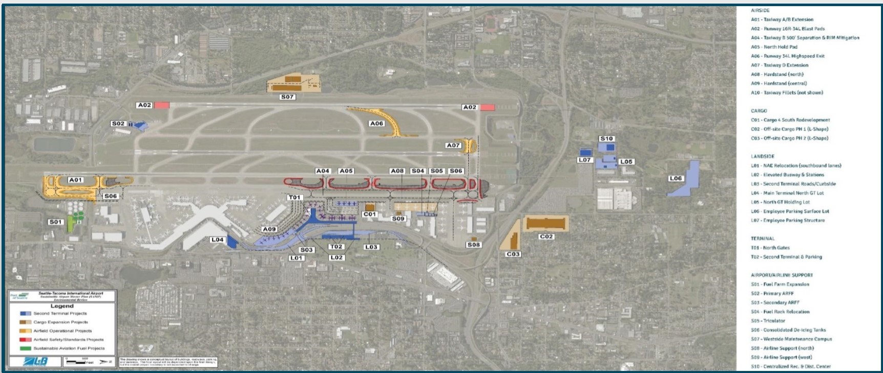
This aerial plan view depicts the Seattle-Tacoma International Airport (Sea-Tac) Comprehensive Airport Master Plan (CAMP) project layout, produced by LMN Architects / GB (logo visible lower left). The map identifies proposed development areas across four categories — Airside (A01–A10), Cargo (C01–C03), Landside (L01–L07), Terminal (T01–T02), and Airport/Airline Support (S01–S10) — with a color-coded legend distinguishing Second Terminal, Cargo Expansion, Airfield Operational, Airfield Safety/Standards, and Sustainable Aviation Fuel projects.Open full document
Notes
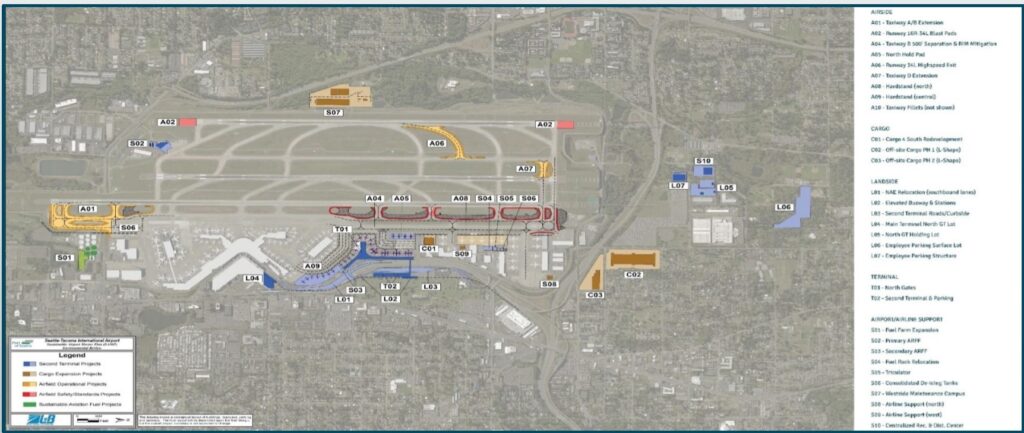
This aerial plan view depicts the Seattle-Tacoma International Airport (Sea-Tac) Comprehensive Airport Master Plan (CAMP) project layout, produced by LMN Architects / GB (logo visible lower left). The map identifies proposed development areas across four categories — Airside (A01–A10), Cargo (C01–C03), Landside (L01–L07), Terminal (T01–T02), and Airport/Airline Support (S01–S10) — with a color-coded legend distinguishing Second Terminal, Cargo Expansion, Airfield Operational, Airfield Safety/Standards, and Sustainable Aviation Fuel projects.