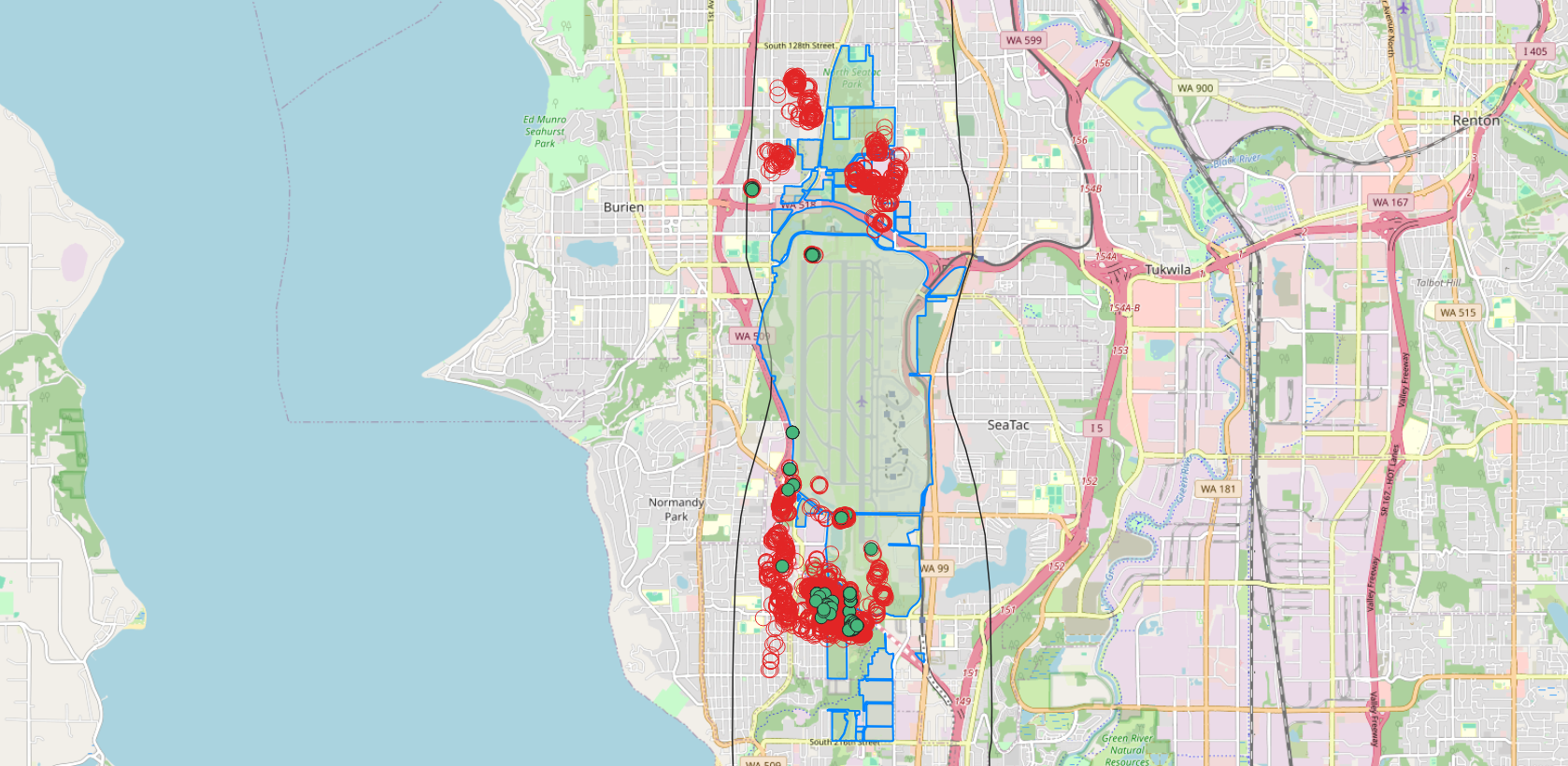
A map centered on Seattle-Tacoma International Airport (Sea-Tac) showing clusters of red circles and green dots overlaid on the airport and surrounding communities including Burien, SeaTac, Tukwila, and Normandy Park. The blue outlined polygon appears to delineate a municipal or study boundary, and the red/green markers likely represent noise complaint locations or flight track data points used in airport noise policy analysis.Open full document
Notes
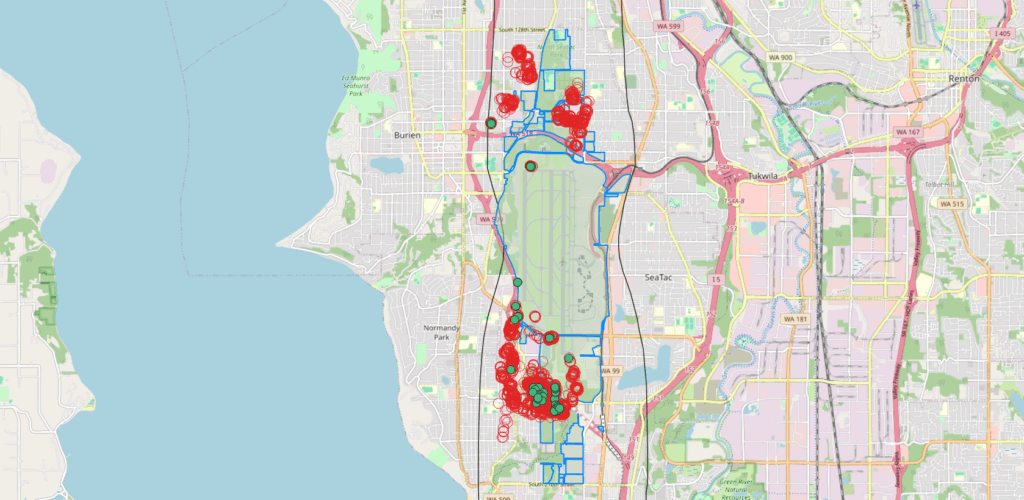
A map centered on Seattle-Tacoma International Airport (Sea-Tac) showing clusters of red circles and green dots overlaid on the airport and surrounding communities including Burien, SeaTac, Tukwila, and Normandy Park. The blue outlined polygon appears to delineate a municipal or study boundary, and the red/green markers likely represent noise complaint locations or flight track data points used in airport noise policy analysis.