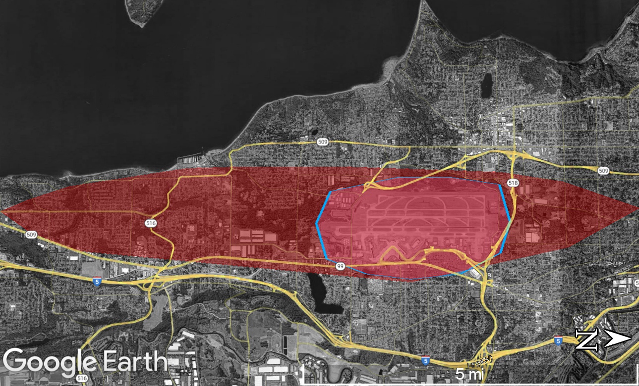
A Google Earth satellite image showing the Seattle-Tacoma (Sea-Tac) Airport area with a red shaded elliptical overlay indicating a noise exposure or flight corridor zone, an orange highlighted road/highway network, and a blue polygon outlining the airport property boundary. Visible route markers include SR-509, SR-516, SR-518, US-99, and I-5.Open full document
Notes
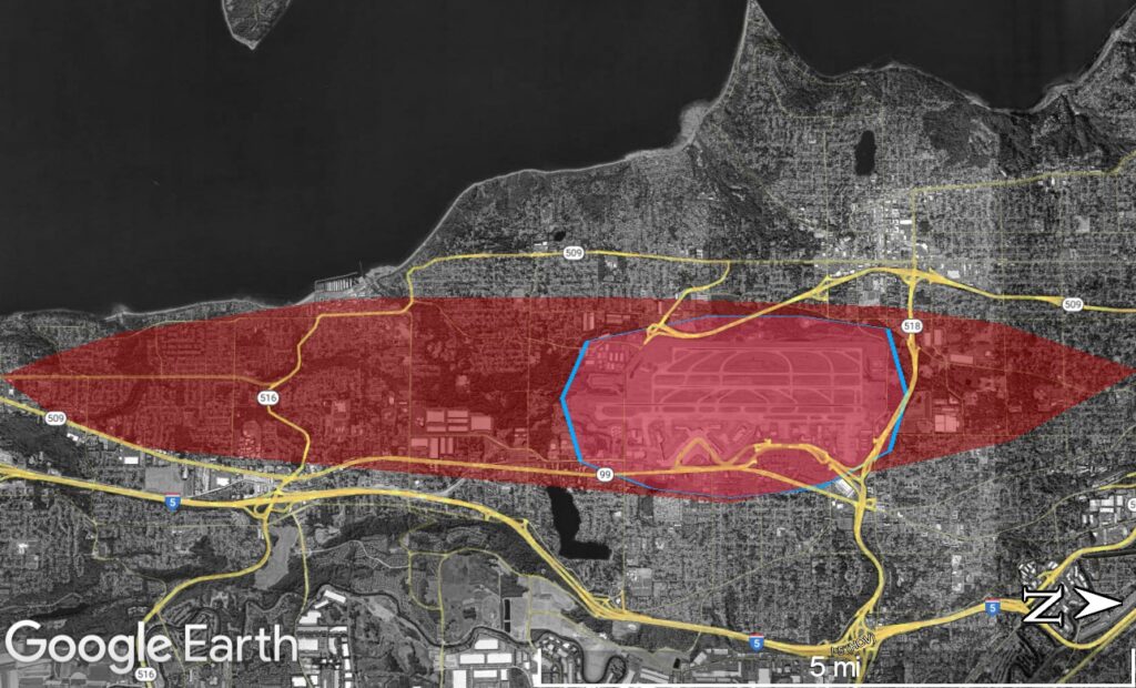
A Google Earth satellite image showing the Seattle-Tacoma (Sea-Tac) Airport area with a red shaded elliptical overlay indicating a noise exposure or flight corridor zone, an orange highlighted road/highway network, and a blue polygon outlining the airport property boundary. Visible route markers include SR-509, SR-516, SR-518, US-99, and I-5.