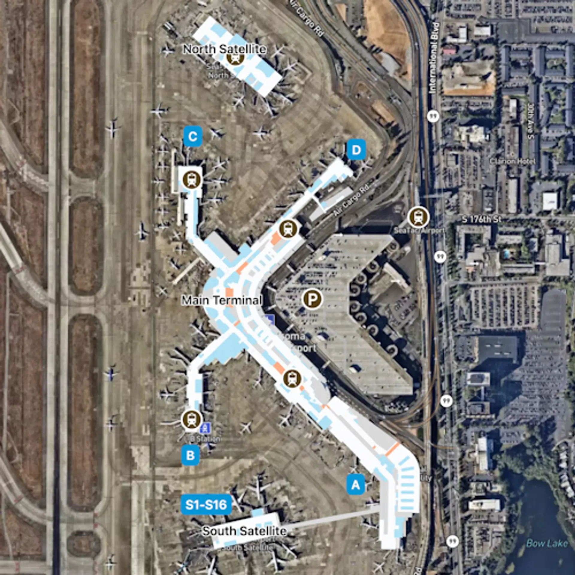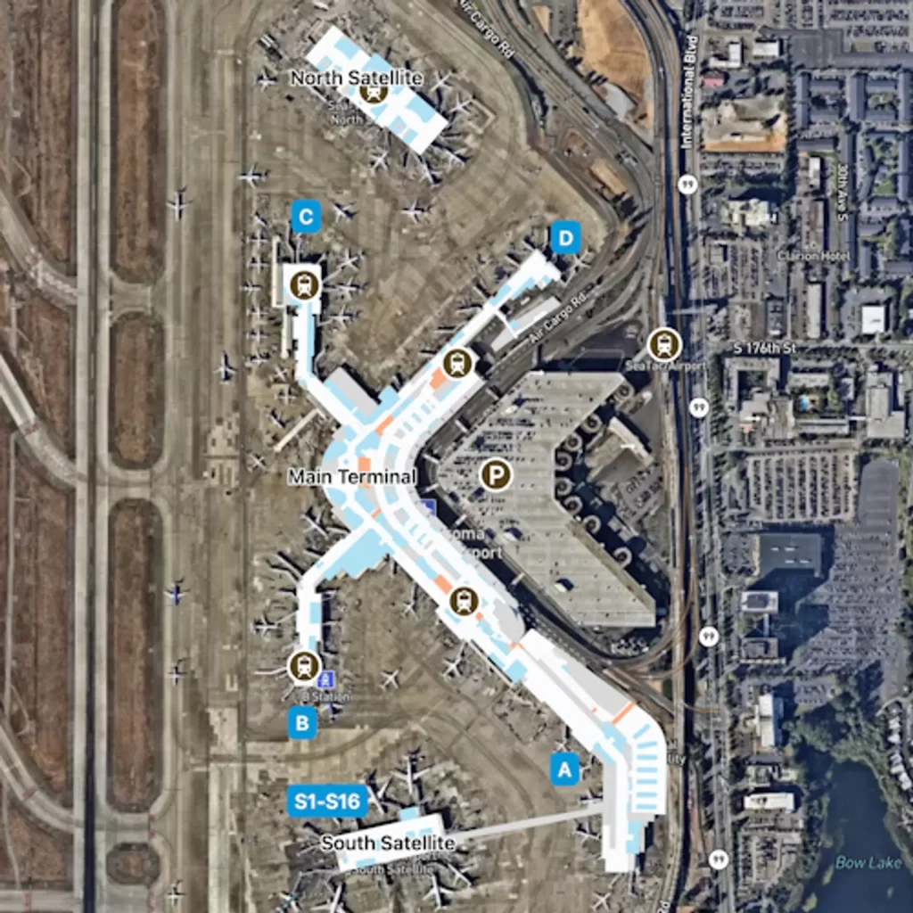
Aerial satellite map of Seattle-Tacoma International Airport (SEA/Sea-Tac) showing the Main Terminal, North Satellite, South Satellite (gates S1–S16), concourses labeled A, B, C, and D, the SeaTac Airport Link light rail station, and parking structures. The map highlights airside pedestrian connector routes in blue and orange overlaid on the satellite imagery.Open full document
Notes
Aerial satellite map of Seattle-Tacoma International Airport (SEA/Sea-Tac) showing the Main Terminal, North Satellite, South Satellite (gates S1–S16), concourses labeled A, B, C, and D, the SeaTac Airport Link light rail station, and parking structures. The map highlights airside pedestrian connector routes in blue and orange overlaid on the satellite imagery.