Notes
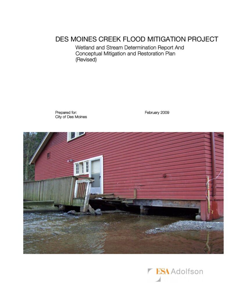
ESA Adolfson report prepared for the City of Des Moines, Washington (February 2009) delineating wetland boundaries and flagging the ordinary high water mark (OHWM) of Des Moines Creek within Des Moines Beach Park (Section 8, Township 22 North, Range 4 East). Covers wetland determinations, wetland ratings and functions, stream delineation, upland description, regulatory implications under Clean Water Act, and a conceptual mitigation and restoration plan including goals, performance standards, monitoring schedule, and contingency plan. The Historic District — listed on the National Register of Historic Places in 2006 and designated a King County Landmark in 2007 — includes the Dining Hall and Founders Lodge built directly over Des Moines Creek, with other structures (Picnic Shelter, Sun Home Lodge, Auditorium/Chapel) within the floodplain. Project aims to reduce flood damage risk in combination with an upstream regional detention pond and high flow bypass.