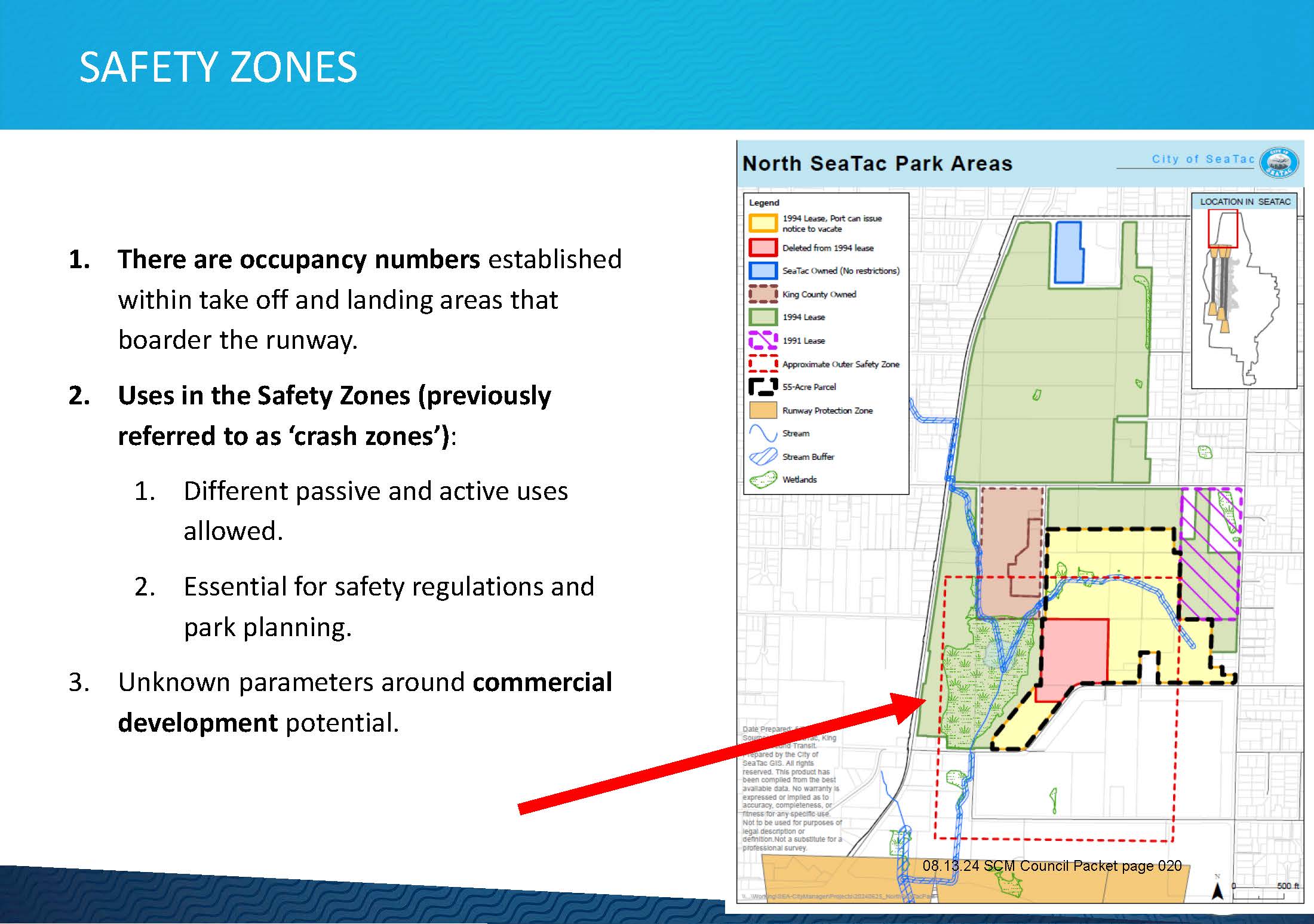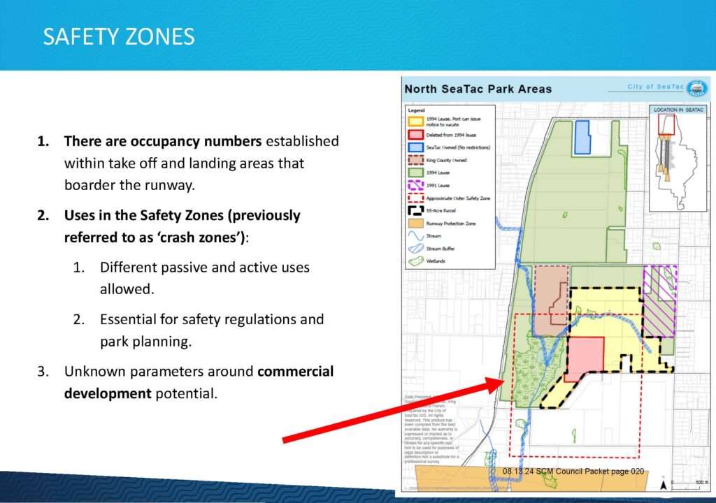
A City of SeaTac council presentation slide titled 'Safety Zones' outlines occupancy limits near runway take-off and landing areas, permitted uses in Safety Zones (formerly called 'crash zones'), and unknowns around commercial development potential. The slide includes a map of North SeaTac Park Areas showing 1994 and 1991 lease boundaries, SeaTac-owned parcels, King County-owned land, the Approximate Outer Safety Zone, a 55-Acre Parcel, and a Runway Protection Zone; sourced from the 08.13.24 SCM Council Packet, page 020.Open full document
Notes
A City of SeaTac council presentation slide titled ‘Safety Zones’ outlines occupancy limits near runway take-off and landing areas, permitted uses in Safety Zones (formerly called ‘crash zones’), and unknowns around commercial development potential. The slide includes a map of North SeaTac Park Areas showing 1994 and 1991 lease boundaries, SeaTac-owned parcels, King County-owned land, the Approximate Outer Safety Zone, a 55-Acre Parcel, and a Runway Protection Zone; sourced from the 08.13.24 SCM Council Packet, page 020.