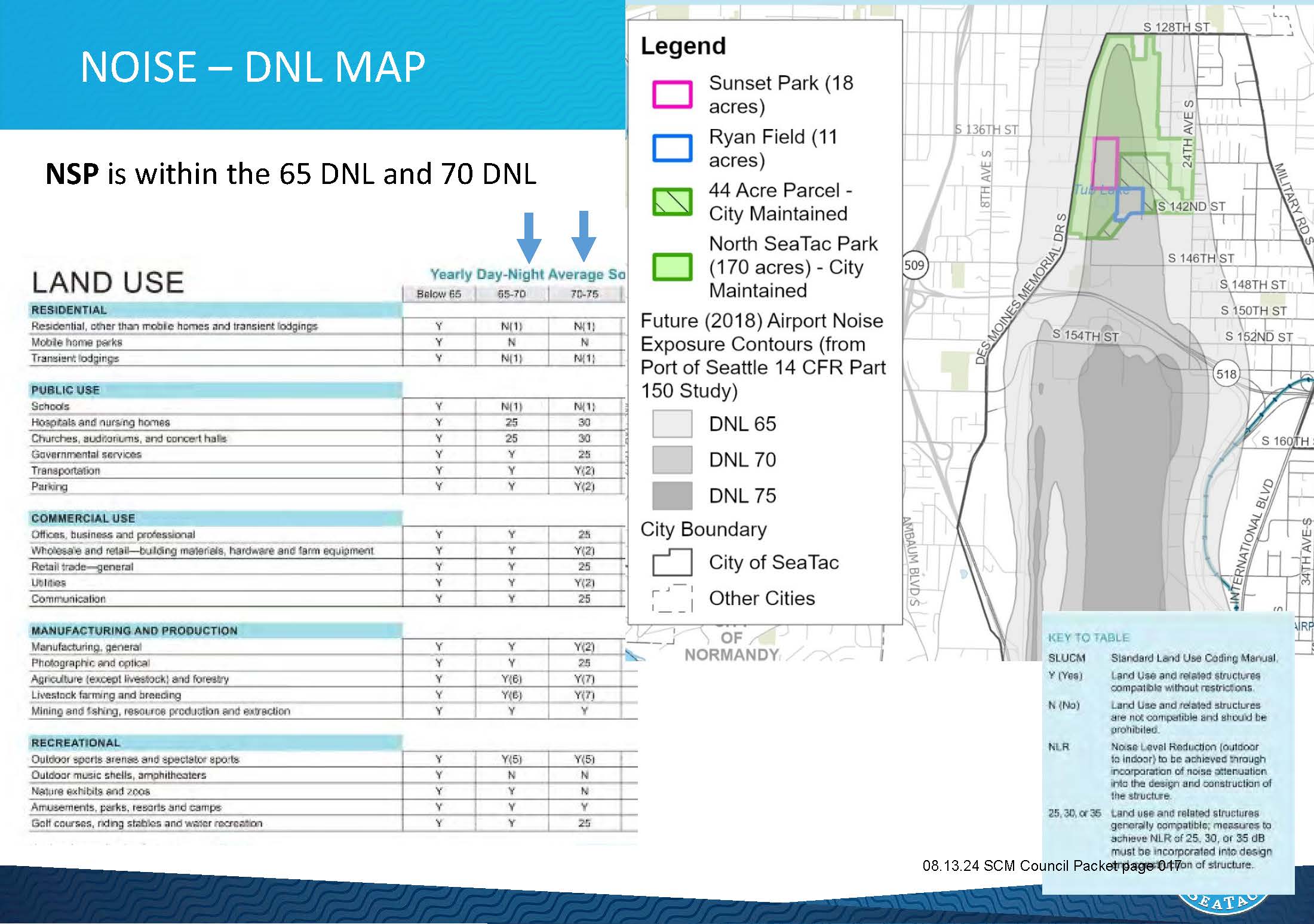
A land-use compatibility table and DNL noise contour map presented to the SeaTac City Council on August 13, 2024 (Council Packet page 017), showing that the North SeaTac Park (NSP) falls within the 65 DNL and 70 DNL noise exposure zones based on the Port of Seattle's 2018 Future Airport Noise Exposure Contours from its 14 CFR Part 150 Study. The map identifies key parcels including Sunset Park (18 acres), Ryan Field (11 acres), the 44-acre City-maintained parcel, and North SeaTac Park (170 acres).Open full document
Notes
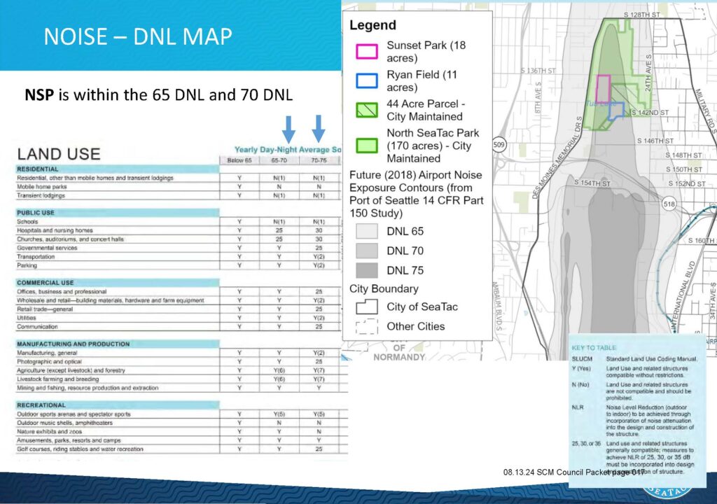
A land-use compatibility table and DNL noise contour map presented to the SeaTac City Council on August 13, 2024 (Council Packet page 017), showing that the North SeaTac Park (NSP) falls within the 65 DNL and 70 DNL noise exposure zones based on the Port of Seattle’s 2018 Future Airport Noise Exposure Contours from its 14 CFR Part 150 Study. The map identifies key parcels including Sunset Park (18 acres), Ryan Field (11 acres), the 44-acre City-maintained parcel, and North SeaTac Park (170 acres).