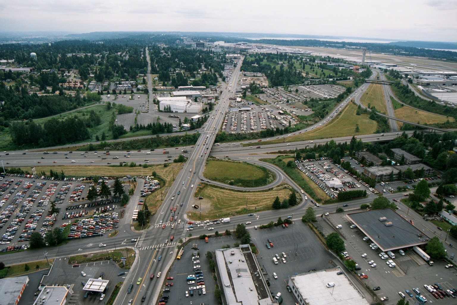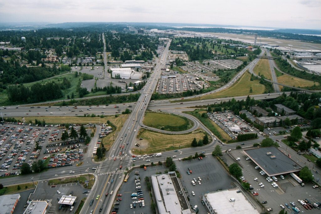
Aerial photograph looking northward toward Seattle-Tacoma International Airport (visible runway and terminal area in background right), showing a major highway interchange—likely International Boulevard (SR-99) crossing Interstate 5—with surrounding commercial parking lots, auto dealerships, and suburban development. The image appears to be from the 1970s or early 1980s based on vehicle styles and development density, consistent with a Sea-Tac Airport noise-policy or planning archive.Open full document
Notes
Aerial photograph looking northward toward Seattle-Tacoma International Airport (visible runway and terminal area in background right), showing a major highway interchange—likely International Boulevard (SR-99) crossing Interstate 5—with surrounding commercial parking lots, auto dealerships, and suburban development. The image appears to be from the 1970s or early 1980s based on vehicle styles and development density, consistent with a Sea-Tac Airport noise-policy or planning archive.