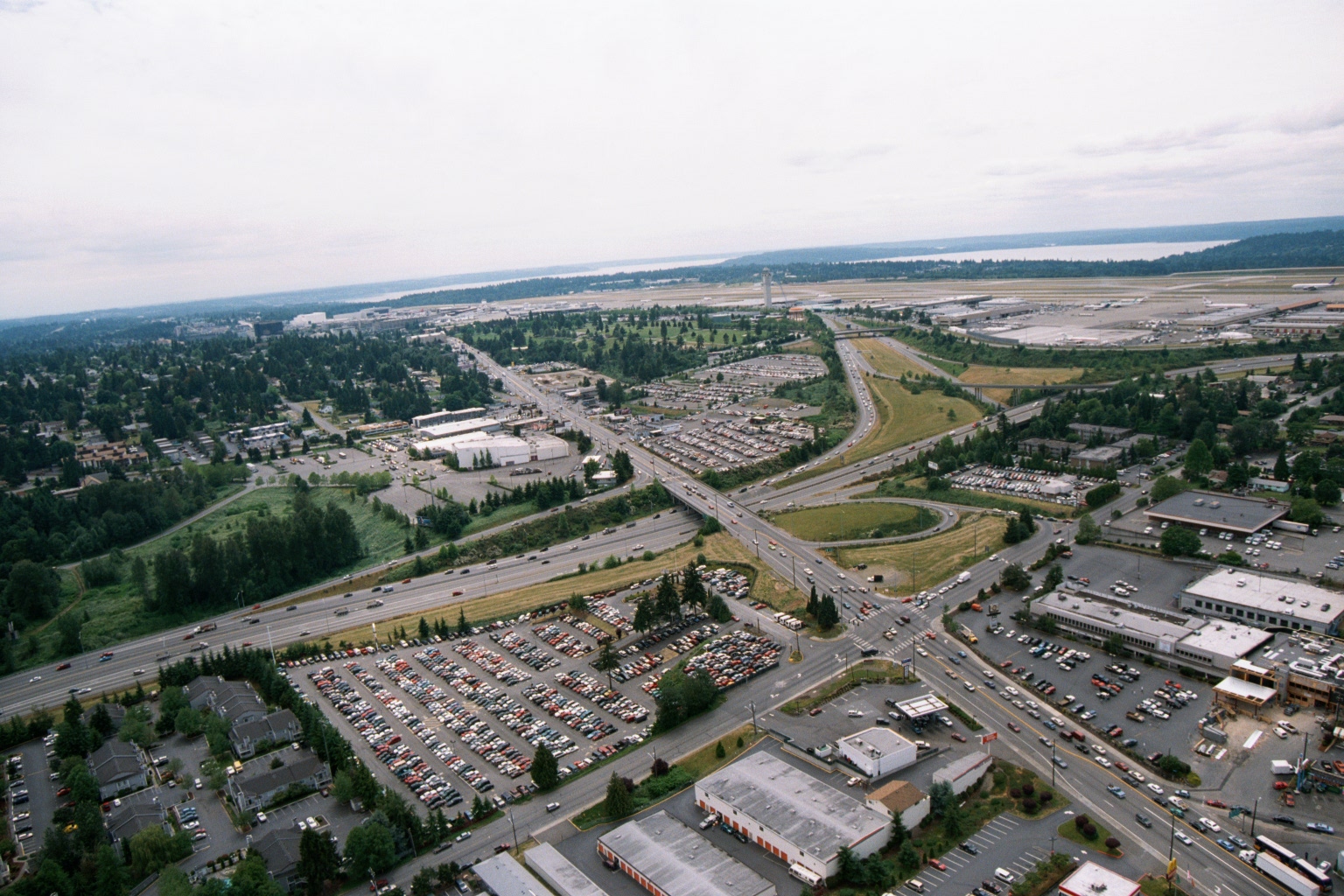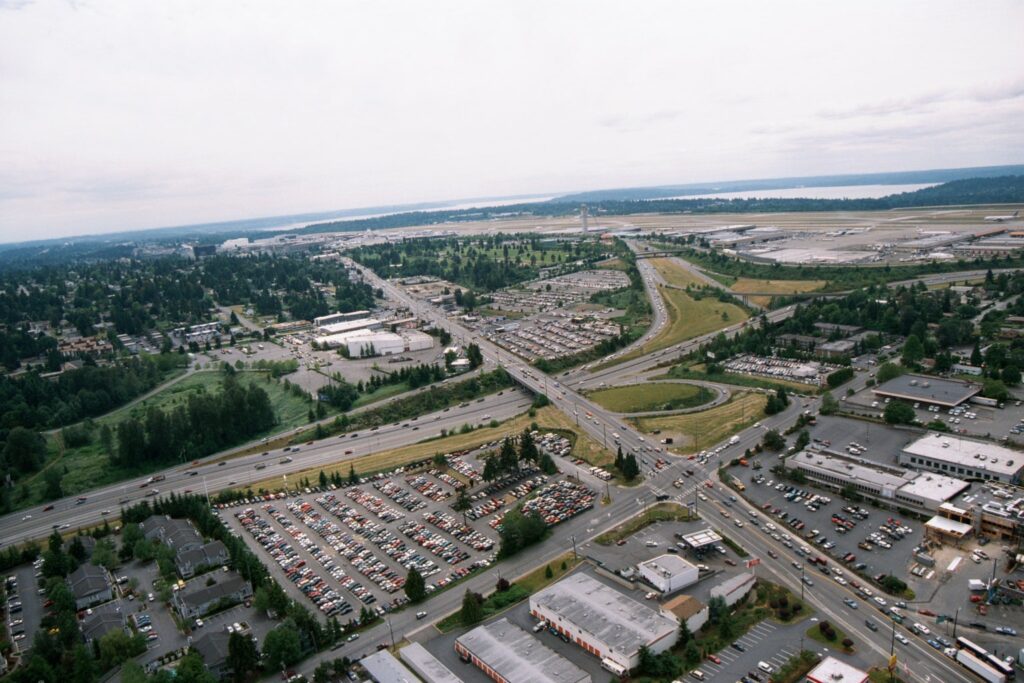
Aerial photograph looking northward toward Seattle-Tacoma International Airport (visible in the upper right background with runways and terminal facilities). The foreground shows the intersection of what appears to be SR-99 (Pacific Highway South) and local roads, with large surface parking lots, Interstate 5, and suburban commercial and residential development characteristic of the SeaTac/Tukwila area.Open full document
Notes
Aerial photograph looking northward toward Seattle-Tacoma International Airport (visible in the upper right background with runways and terminal facilities). The foreground shows the intersection of what appears to be SR-99 (Pacific Highway South) and local roads, with large surface parking lots, Interstate 5, and suburban commercial and residential development characteristic of the SeaTac/Tukwila area.