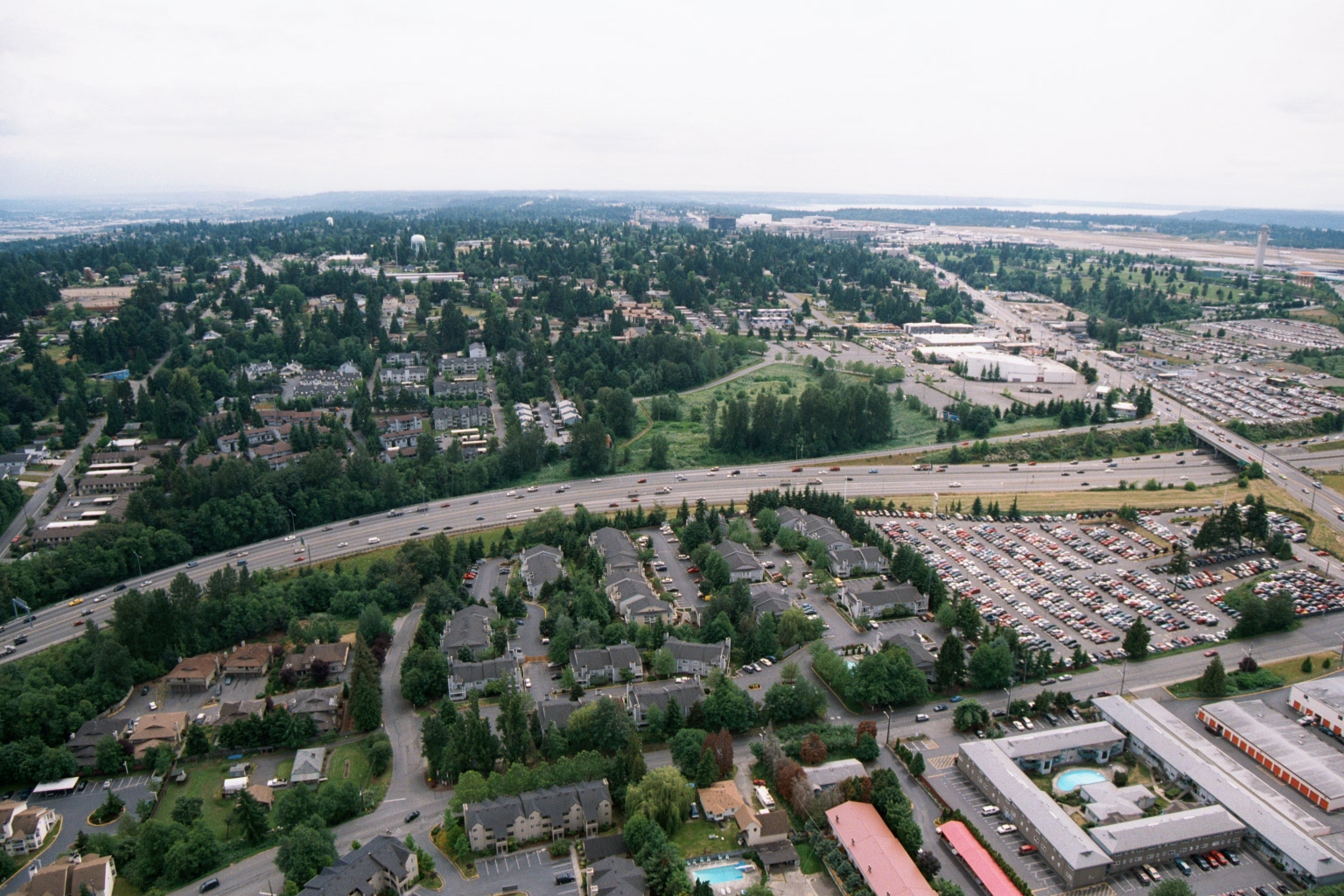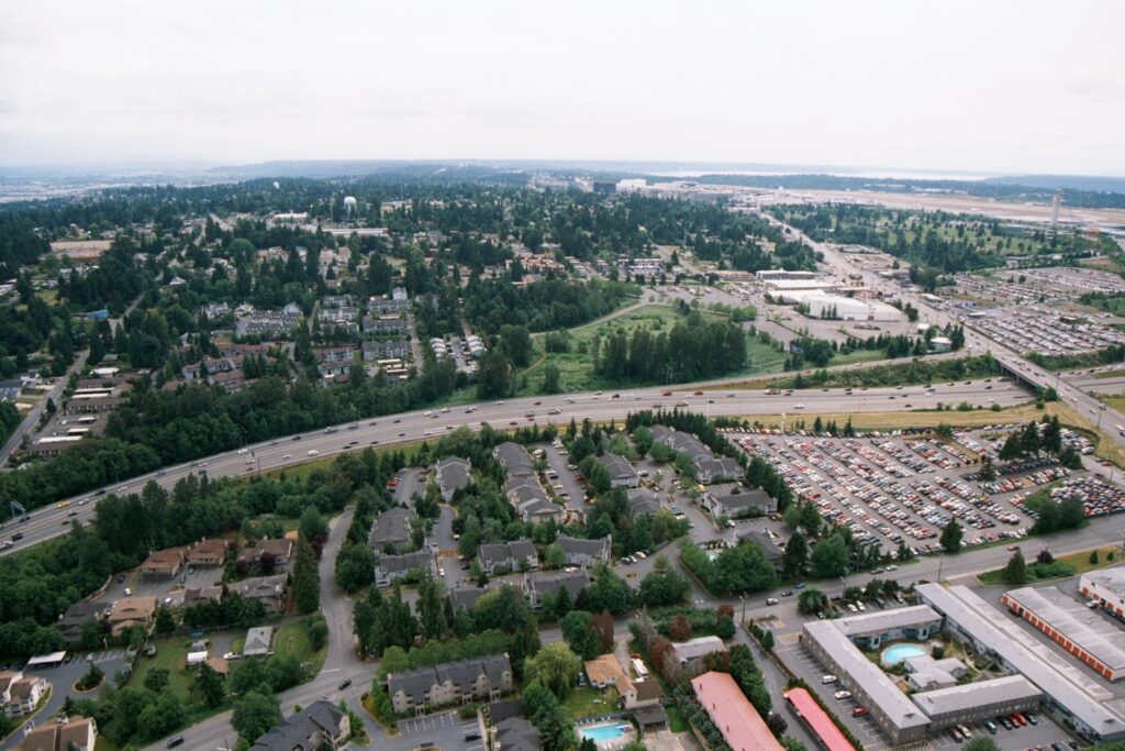
Aerial photograph showing a multi-lane highway (likely I-5 or SR-99) curving through a suburban landscape of apartment complexes, single-family homes, and large surface parking lots. An airport runway area and Puget Sound are visible in the background, consistent with the Sea-Tac Airport vicinity in the SeaTac/Des Moines, Washington area.Open full document
Notes
Aerial photograph showing a multi-lane highway (likely I-5 or SR-99) curving through a suburban landscape of apartment complexes, single-family homes, and large surface parking lots. An airport runway area and Puget Sound are visible in the background, consistent with the Sea-Tac Airport vicinity in the SeaTac/Des Moines, Washington area.