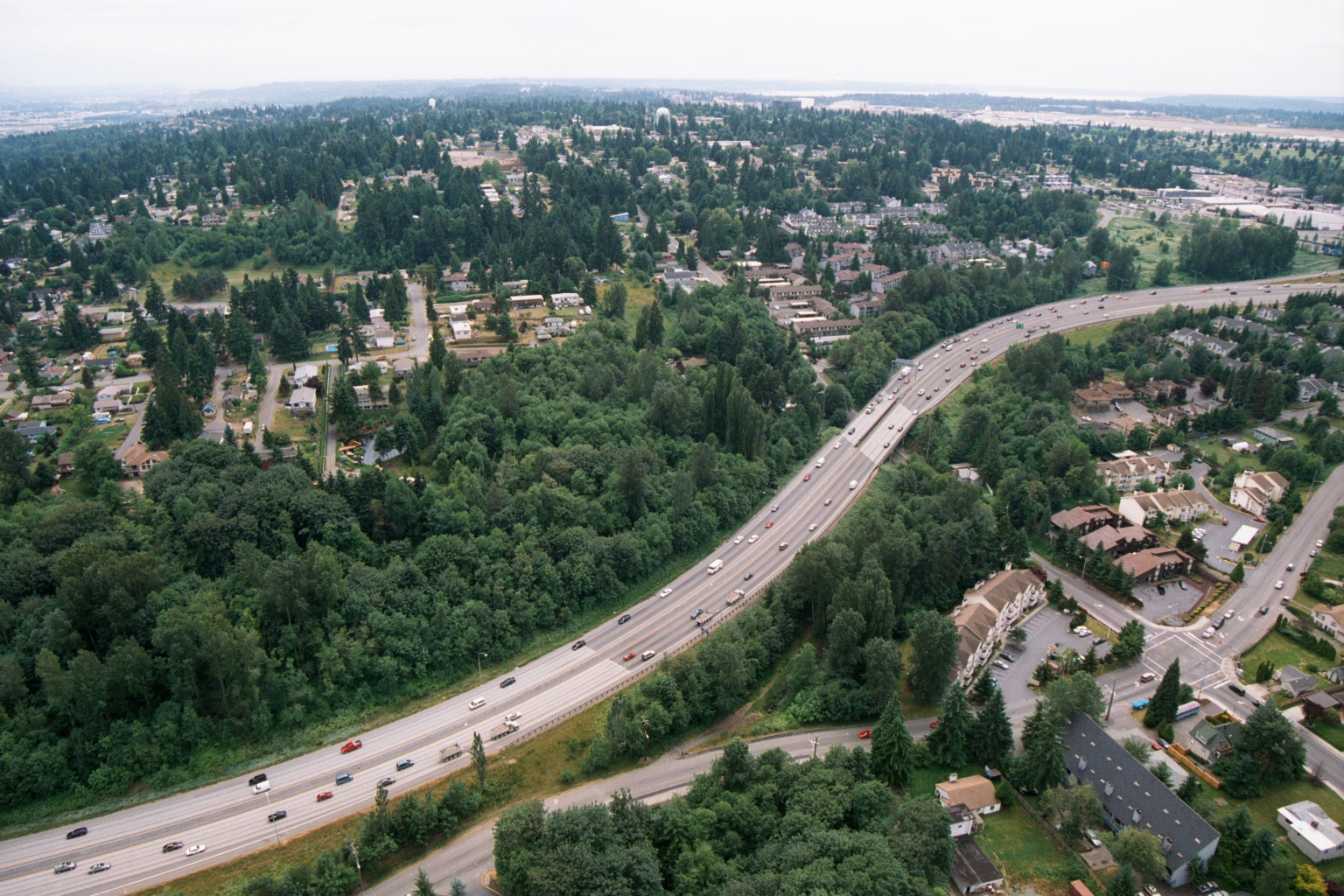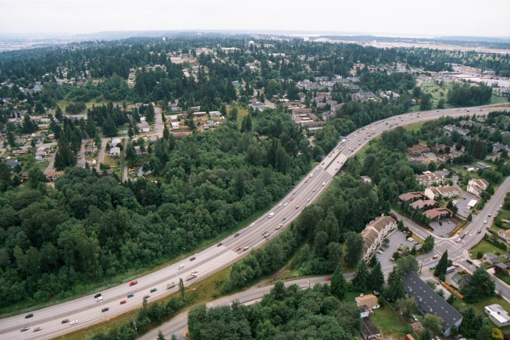
An aerial photograph showing a wide multi-lane highway (likely an Interstate) cutting through a densely forested suburban landscape with residential and commercial development visible on either side. The overcast sky, evergreen tree cover, and architectural style are consistent with the Pacific Northwest region, potentially near the Sea-Tac corridor in Washington State.Open full document
Notes
An aerial photograph showing a wide multi-lane highway (likely an Interstate) cutting through a densely forested suburban landscape with residential and commercial development visible on either side. The overcast sky, evergreen tree cover, and architectural style are consistent with the Pacific Northwest region, potentially near the Sea-Tac corridor in Washington State.