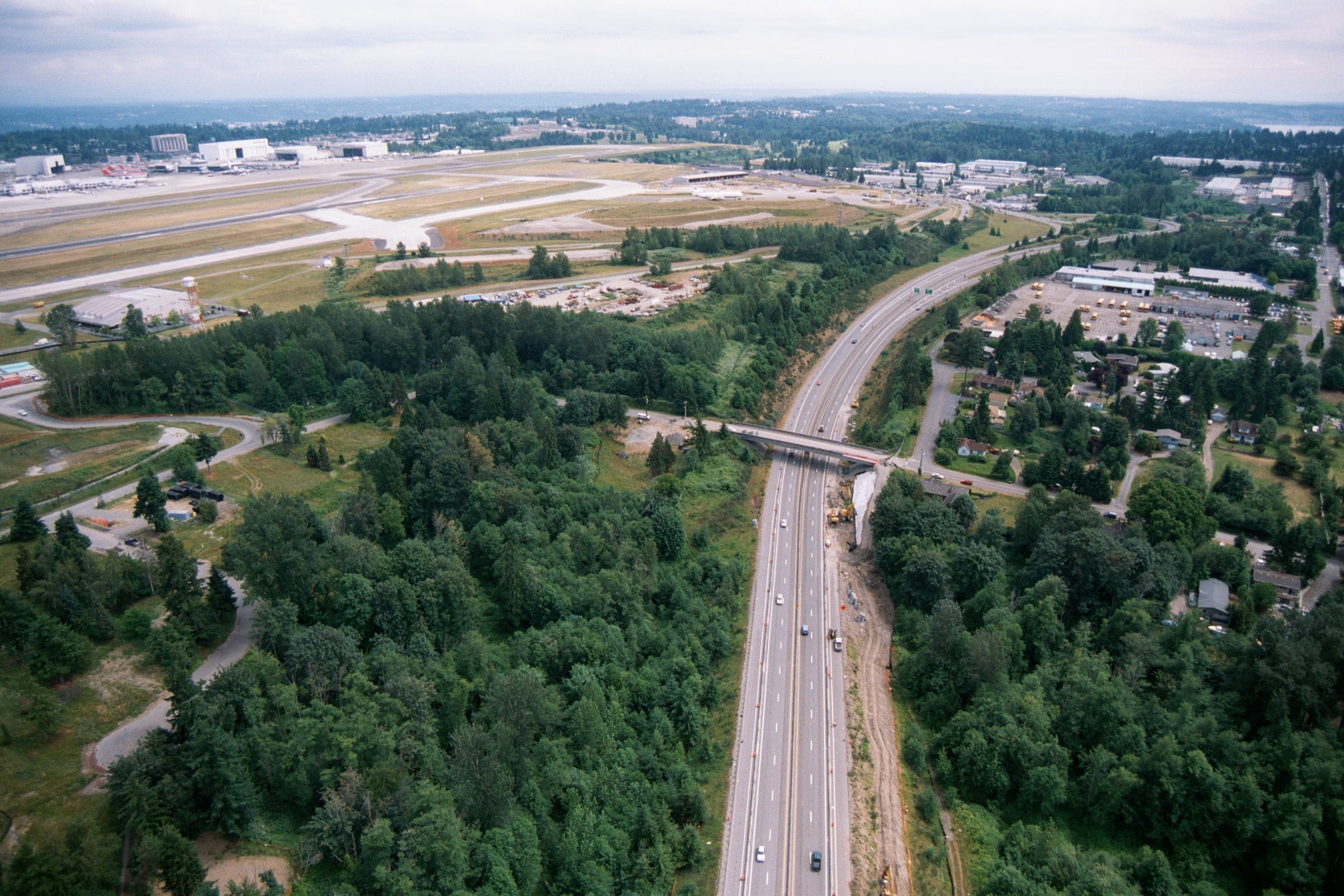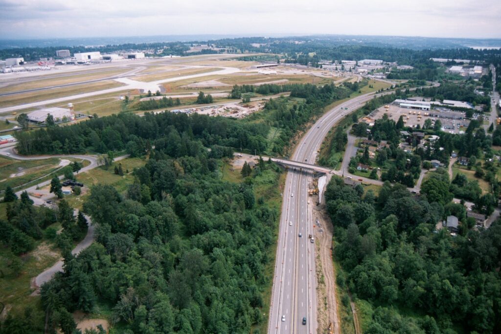
Aerial photograph showing a multi-lane highway running north-south through a forested area, with active construction and heavy equipment visible alongside the roadway. In the background, an airport airfield with runways and large industrial/hangar buildings is visible to the upper left, consistent with the Sea-Tac Airport vicinity.Open full document
Notes
Aerial photograph showing a multi-lane highway running north-south through a forested area, with active construction and heavy equipment visible alongside the roadway. In the background, an airport airfield with runways and large industrial/hangar buildings is visible to the upper left, consistent with the Sea-Tac Airport vicinity.