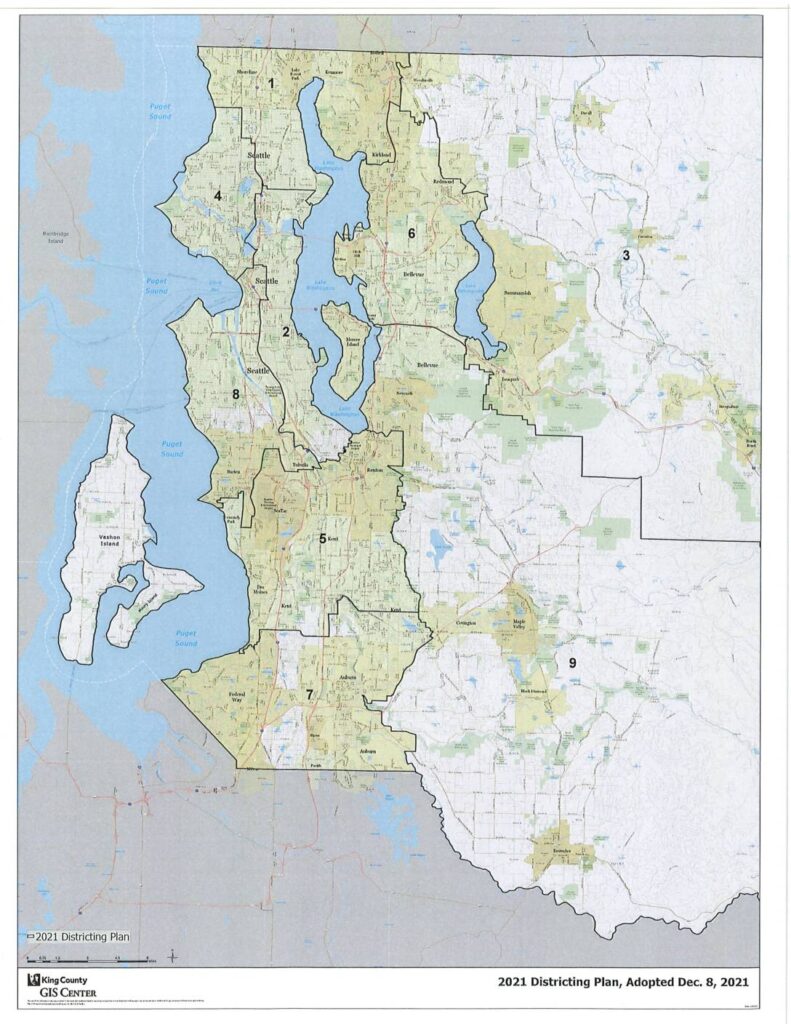
This document presents King County's 2021 Districting Plan, adopted December 8, 2021, showing the boundaries of the county's nine council districts as mapped by the King County GIS Center. The map covers the greater Seattle metropolitan area, including surrounding cities and unincorporated areas, with district lines redrawn following the 2020 census. The plan establishes the geographic representation boundaries used for King County Council elections going forward.Open full document
Notes
King County GIS Center map showing the 2021 Districting Plan for King County Council districts, adopted December 8, 2021. Displays nine numbered council districts overlaid on King County geography including Seattle, Puget Sound, and surrounding communities such as Bellevue, Redmond, Issaquah, Auburn, and Federal Way. Produced by King County GIS Center.