Notes
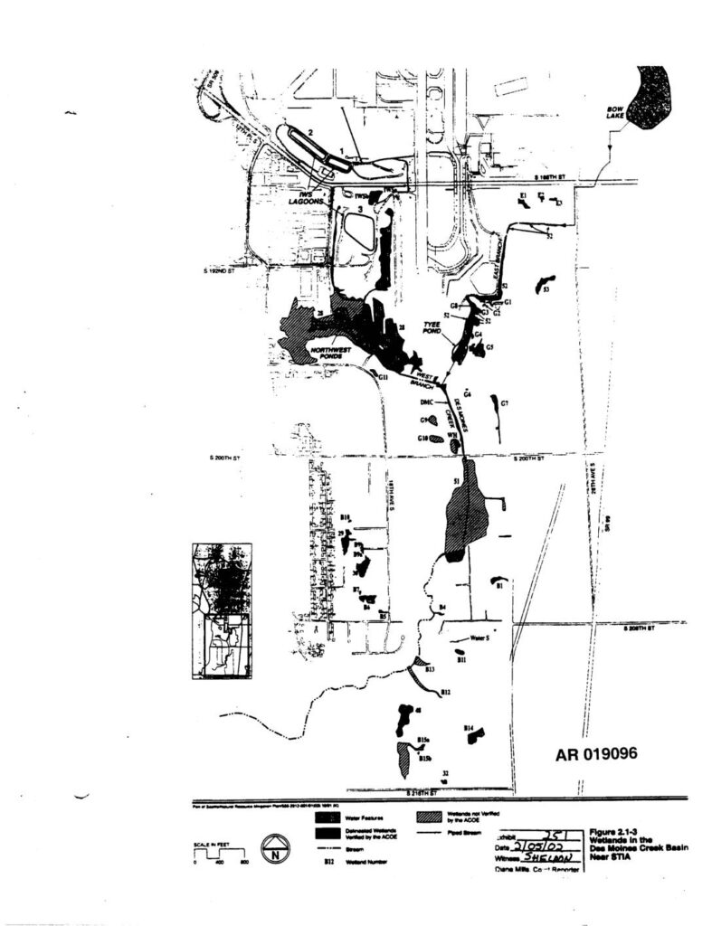
A map figure (Figure 2.1-3) showing wetlands in the Des Moines Creek Basin near Sea-Tac International Airport (STIA). The map identifies delineated wetlands verified by the Army Corps of Engineers, wetlands not verified by the ACOE, water features, streams, and piped streams, with individual wetlands labeled by number. The document was submitted as an exhibit dated 2/05/02 and witnessed by Sheldon.