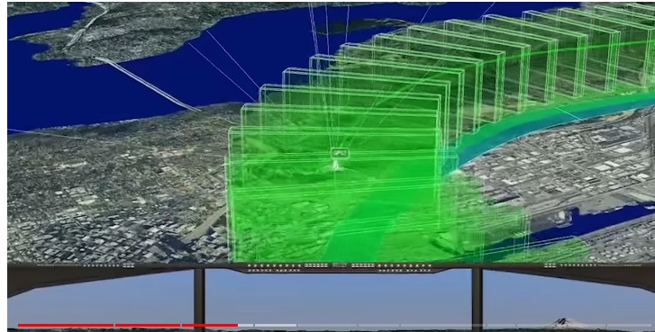
A 3D visualization displayed on a multi-monitor workstation shows stacked green translucent planes overlaid on a satellite aerial view of an urban coastal area, consistent with aircraft noise contour or flight-path modeling software. The geographic features, including a waterway and urban grid, are consistent with the Seattle/Sea-Tac region, though no visible text or logos confirm the specific software, organization, or date.Open full document
Notes
A 3D visualization displayed on a multi-monitor workstation shows stacked green translucent planes overlaid on a satellite aerial view of an urban coastal area, consistent with aircraft noise contour or flight-path modeling software. The geographic features, including a waterway and urban grid, are consistent with the Seattle/Sea-Tac region, though no visible text or logos confirm the specific software, organization, or date.