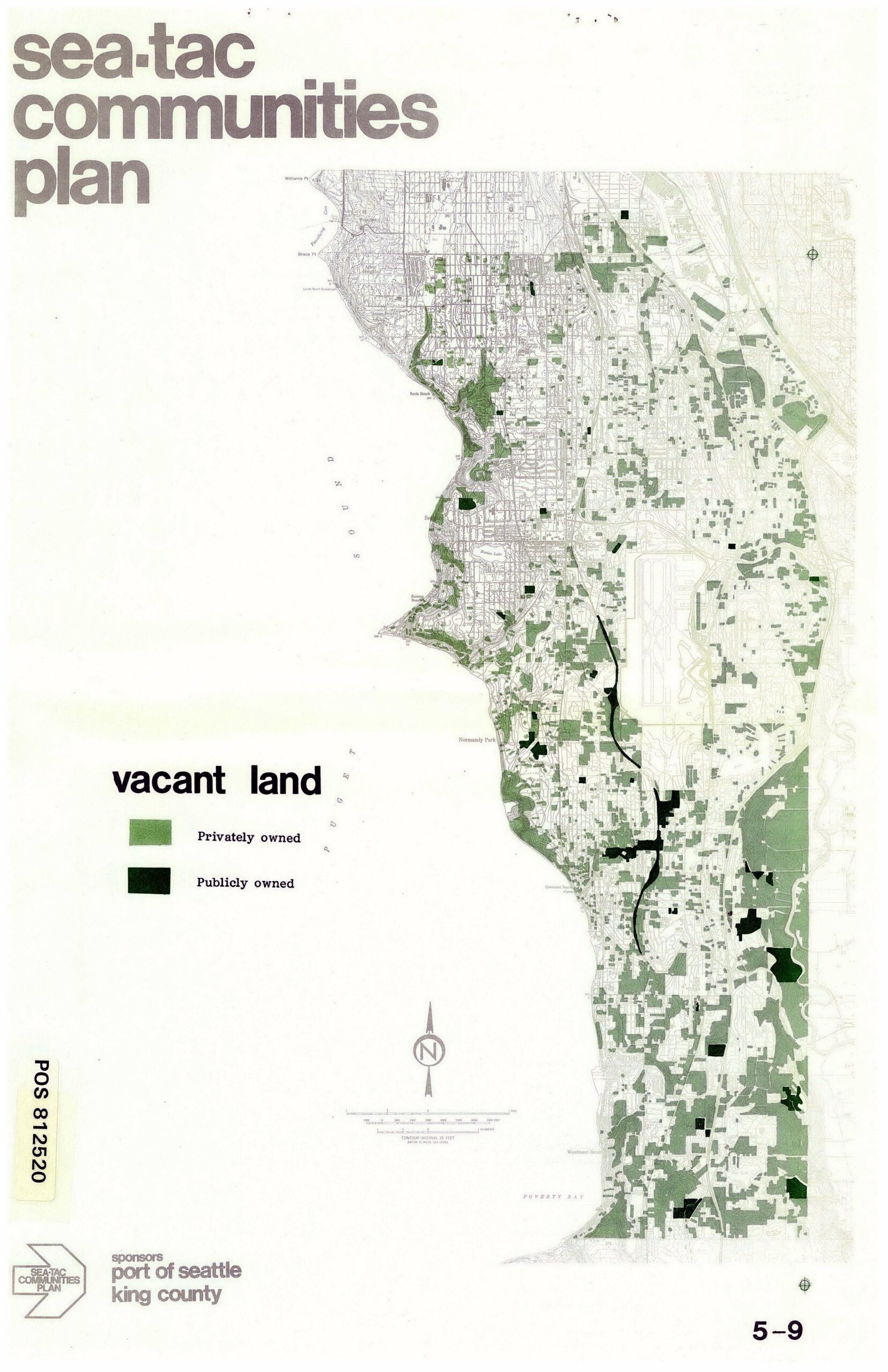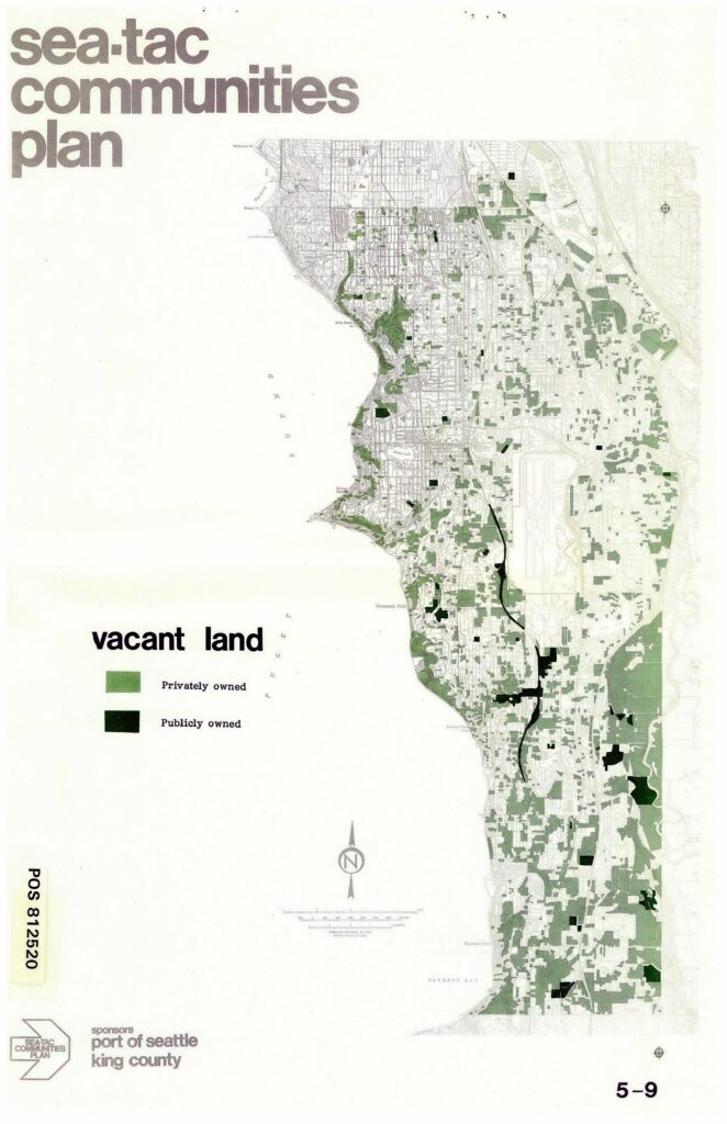
This map, page 5-9 of the Sea-Tac Communities Plan (POS 812520), shows the distribution of vacant land in the Sea-Tac area, distinguishing between privately owned (light green) and publicly owned (dark green/black) parcels. The plan was sponsored by the Port of Seattle and King County.Open full document
Notes
This map, page 5-9 of the Sea-Tac Communities Plan (POS 812520), shows the distribution of vacant land in the Sea-Tac area, distinguishing between privately owned (light green) and publicly owned (dark green/black) parcels. The plan was sponsored by the Port of Seattle and King County.