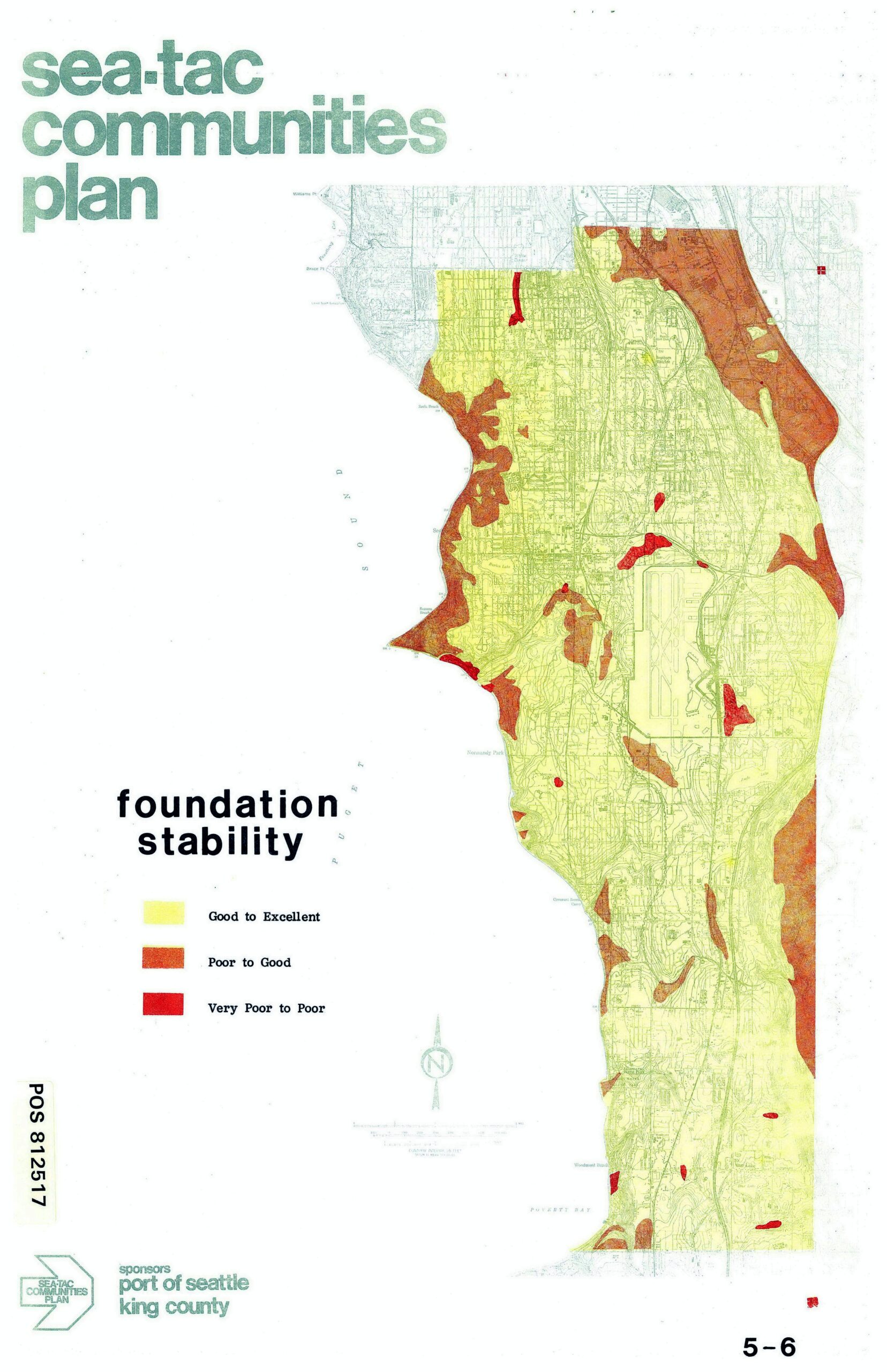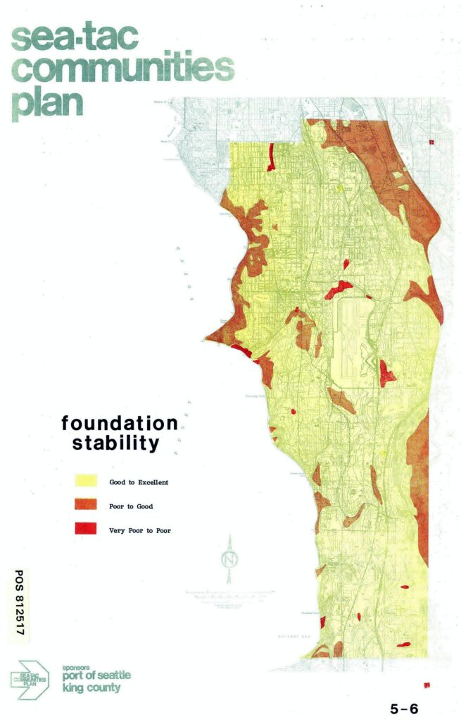
This map from the Sea-Tac Communities Plan (sponsored by the Port of Seattle and King County, document POS 812517) depicts foundation stability ratings across the Sea-Tac area, using a color-coded legend distinguishing 'Good to Excellent' (yellow-green), 'Poor to Good' (orange-brown), and 'Very Poor to Poor' (red) soil conditions. The western coastal margin along Puget Sound shows the greatest concentration of poor-to-very-poor foundation stability, while the central plateau area is predominantly rated good to excellent.Open full document
Notes
This map from the Sea-Tac Communities Plan (sponsored by the Port of Seattle and King County, document POS 812517) depicts foundation stability ratings across the Sea-Tac area, using a color-coded legend distinguishing ‘Good to Excellent’ (yellow-green), ‘Poor to Good’ (orange-brown), and ‘Very Poor to Poor’ (red) soil conditions. The western coastal margin along Puget Sound shows the greatest concentration of poor-to-very-poor foundation stability, while the central plateau area is predominantly rated good to excellent.