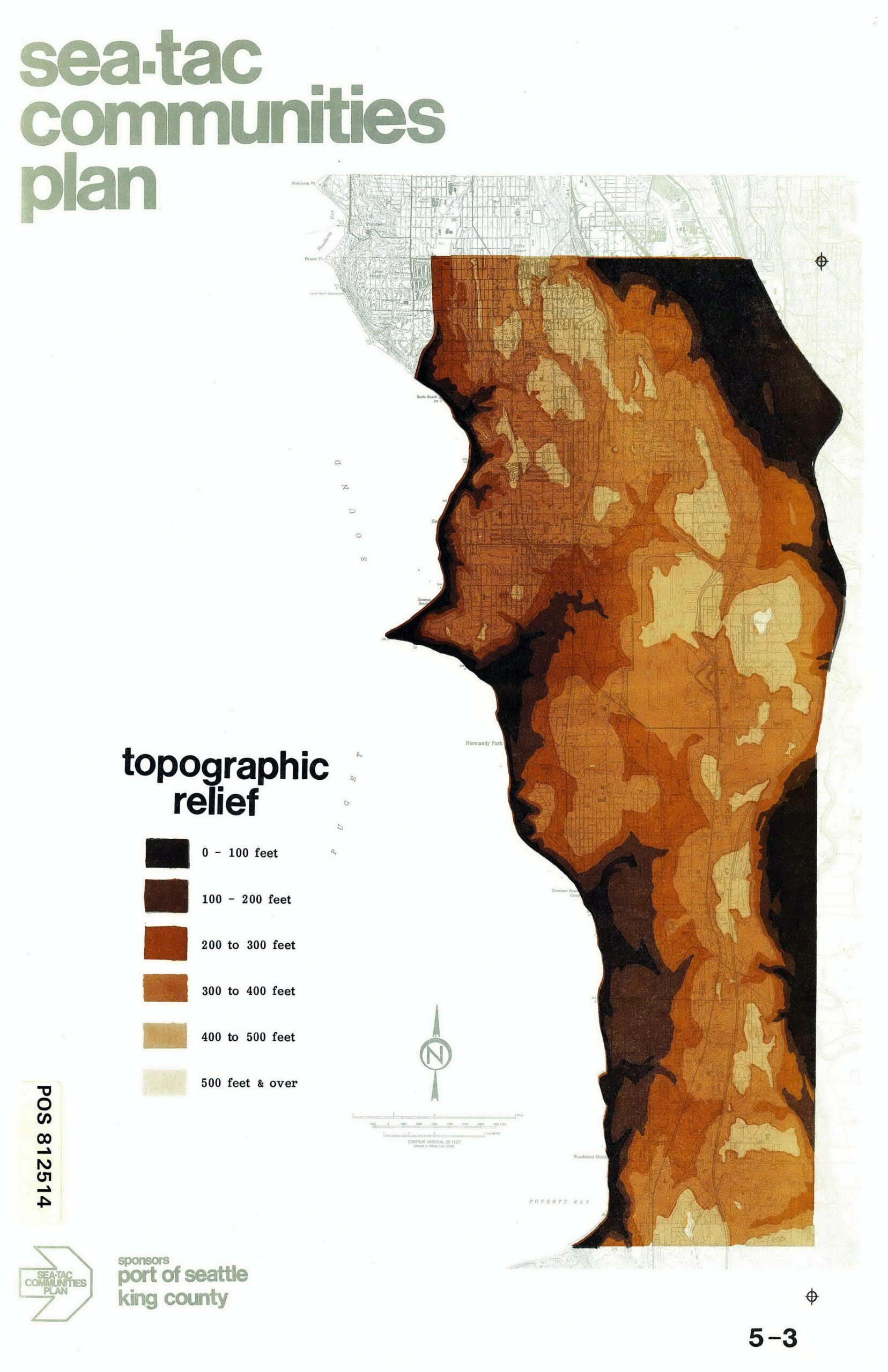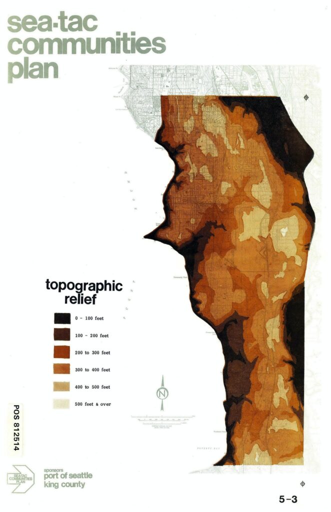
A topographic relief map from the Sea-Tac Communities Plan (document POS 812514), sponsored by the Port of Seattle and King County, showing elevation bands ranging from 0–100 feet (darkest) to 500 feet and over (lightest) across the Sea-Tac area. The map is labeled Figure 5-3 and uses a graduated brown color scheme to illustrate the area's varied terrain, with Poverty Bay visible at the southern edge.Open full document
Notes
A topographic relief map from the Sea-Tac Communities Plan (document POS 812514), sponsored by the Port of Seattle and King County, showing elevation bands ranging from 0–100 feet (darkest) to 500 feet and over (lightest) across the Sea-Tac area. The map is labeled Figure 5-3 and uses a graduated brown color scheme to illustrate the area’s varied terrain, with Poverty Bay visible at the southern edge.