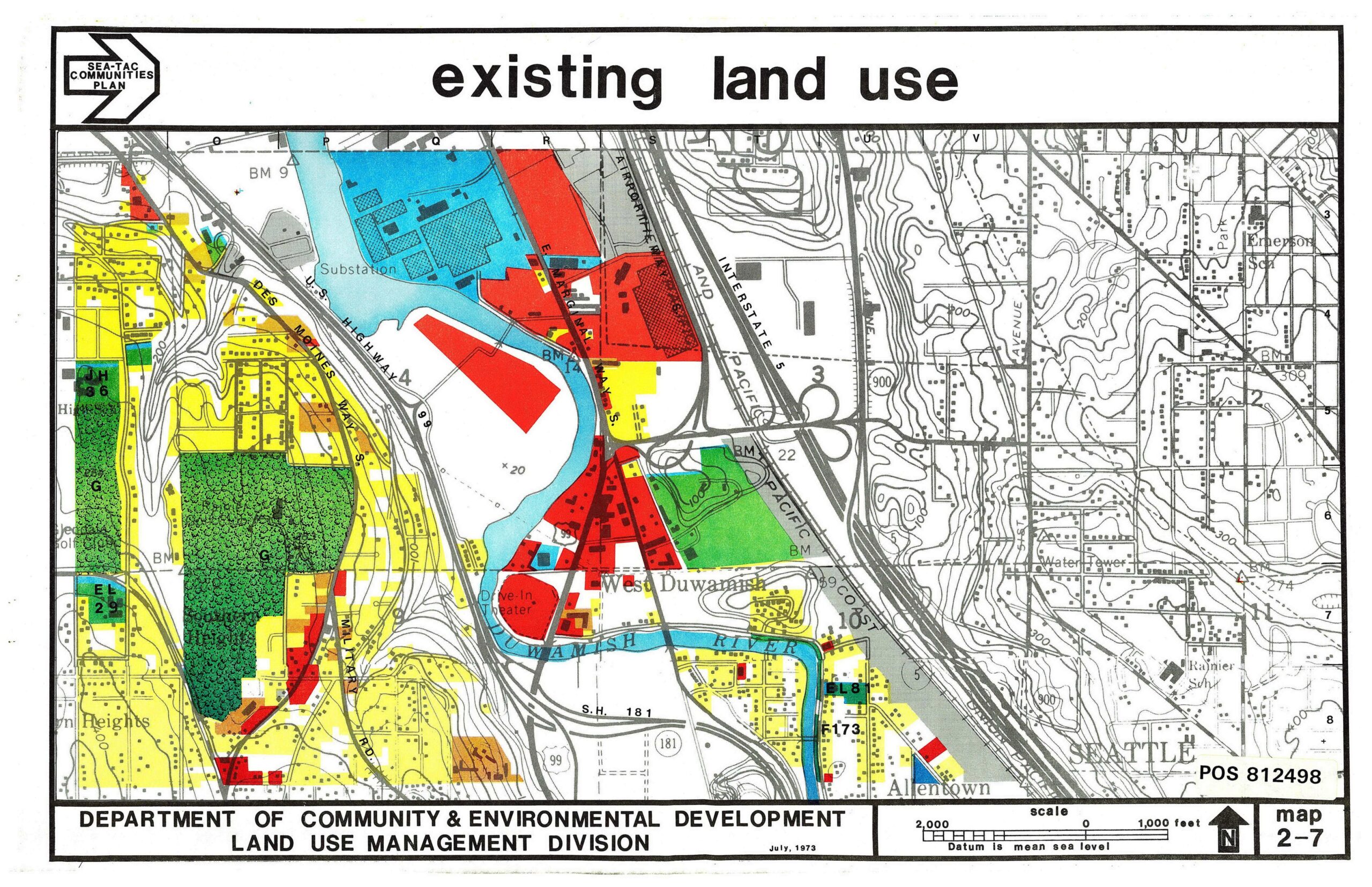
A color-coded land use map produced by King County's Department of Community & Environmental Development, Land Use Management Division, dated July 1973, catalogued as POS 812498. The map depicts existing land uses around the Sea-Tac Airport area including the West Duwamish neighborhood, Duwamish River, Interstate 5, and surrounding communities, with colored zones indicating residential, commercial, industrial, and open space uses.Open full document
Notes
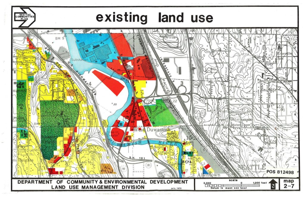
A color-coded land use map produced by King County’s Department of Community & Environmental Development, Land Use Management Division, dated July 1973, catalogued as POS 812498. The map depicts existing land uses around the Sea-Tac Airport area including the West Duwamish neighborhood, Duwamish River, Interstate 5, and surrounding communities, with colored zones indicating residential, commercial, industrial, and open space uses.