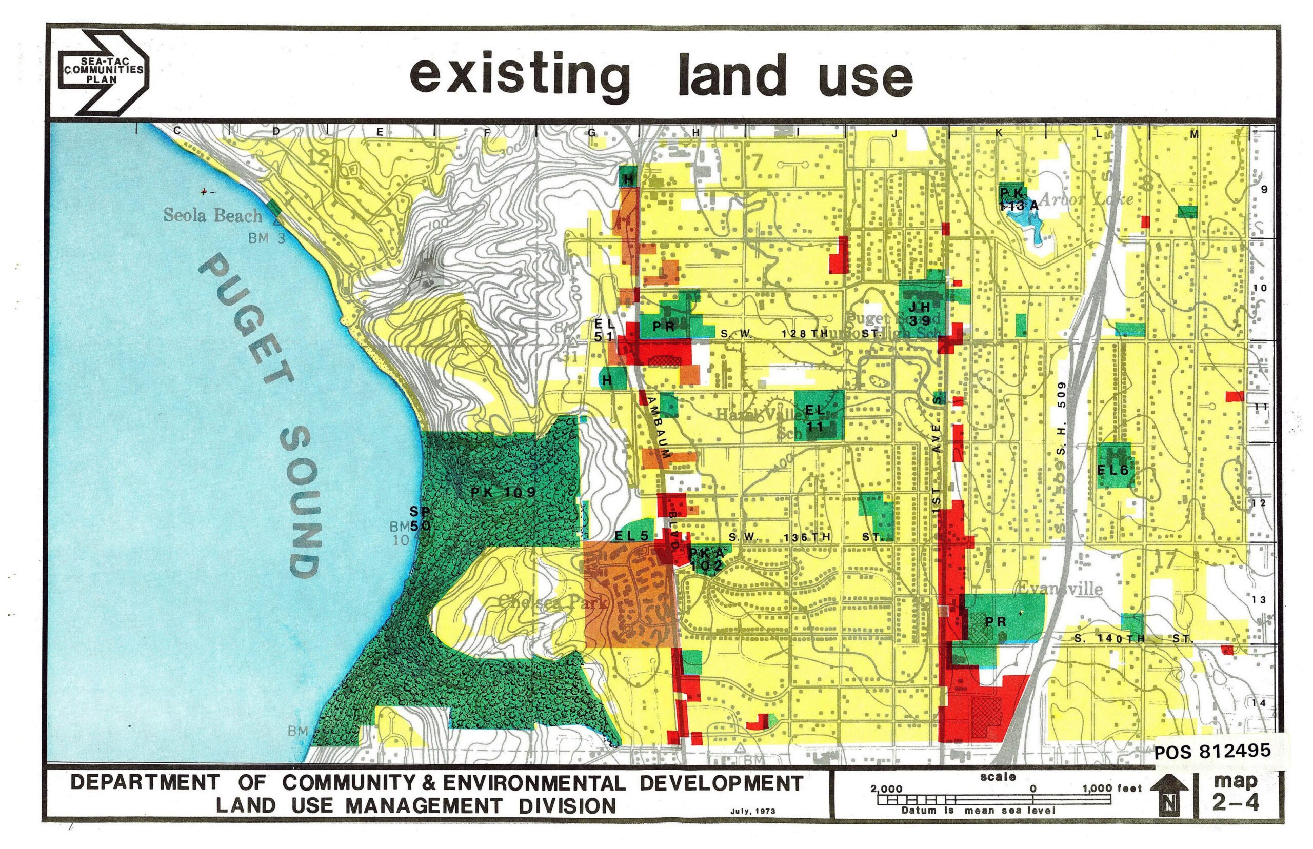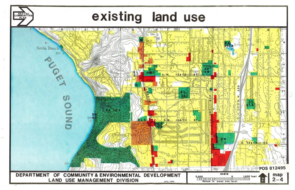
A color-coded land use map produced by King County's Department of Community & Environmental Development, Land Use Management Division, dated July 1973, covering the Sea-Tac communities area along Puget Sound including Seola Beach, Highline/Hazelville neighborhoods, and landmarks such as Ambaum Boulevard, S.W. 128th and 135th Streets, and Arbor Lake. The map (POS 812495) shows residential, commercial, park, and school parcels at a scale of 1,000 feet, with north oriented to the upper right.Open full document
Notes
A color-coded land use map produced by King County’s Department of Community & Environmental Development, Land Use Management Division, dated July 1973, covering the Sea-Tac communities area along Puget Sound including Seola Beach, Highline/Hazelville neighborhoods, and landmarks such as Ambaum Boulevard, S.W. 128th and 135th Streets, and Arbor Lake. The map (POS 812495) shows residential, commercial, park, and school parcels at a scale of 1,000 feet, with north oriented to the upper right.