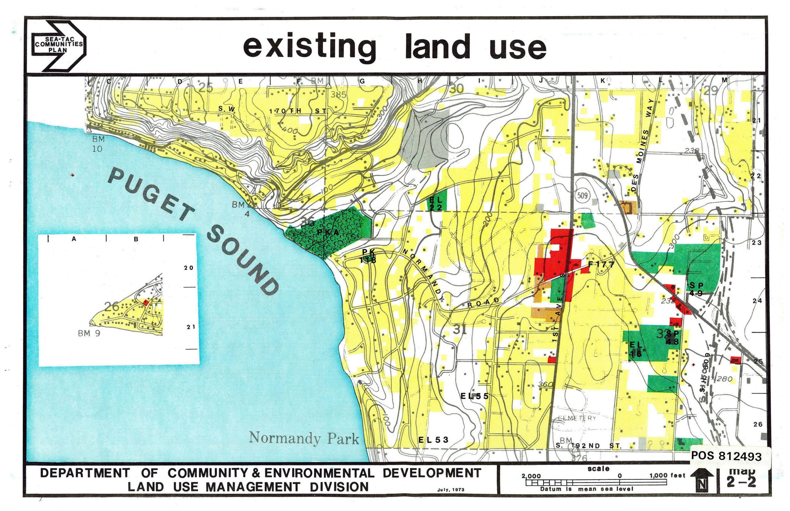
A color-coded existing land use map (Map 2-2) prepared by King County's Department of Community & Environmental Development, Land Use Management Division, dated July 1973, as part of the Sea-Tac Communities Plan. The map covers the Normandy Park area along Puget Sound, showing residential, commercial, park, school, and other land use designations with reference number POS 812493.Open full document
Notes
A color-coded existing land use map (Map 2-2) prepared by King County’s Department of Community & Environmental Development, Land Use Management Division, dated July 1973, as part of the Sea-Tac Communities Plan. The map covers the Normandy Park area along Puget Sound, showing residential, commercial, park, school, and other land use designations with reference number POS 812493.