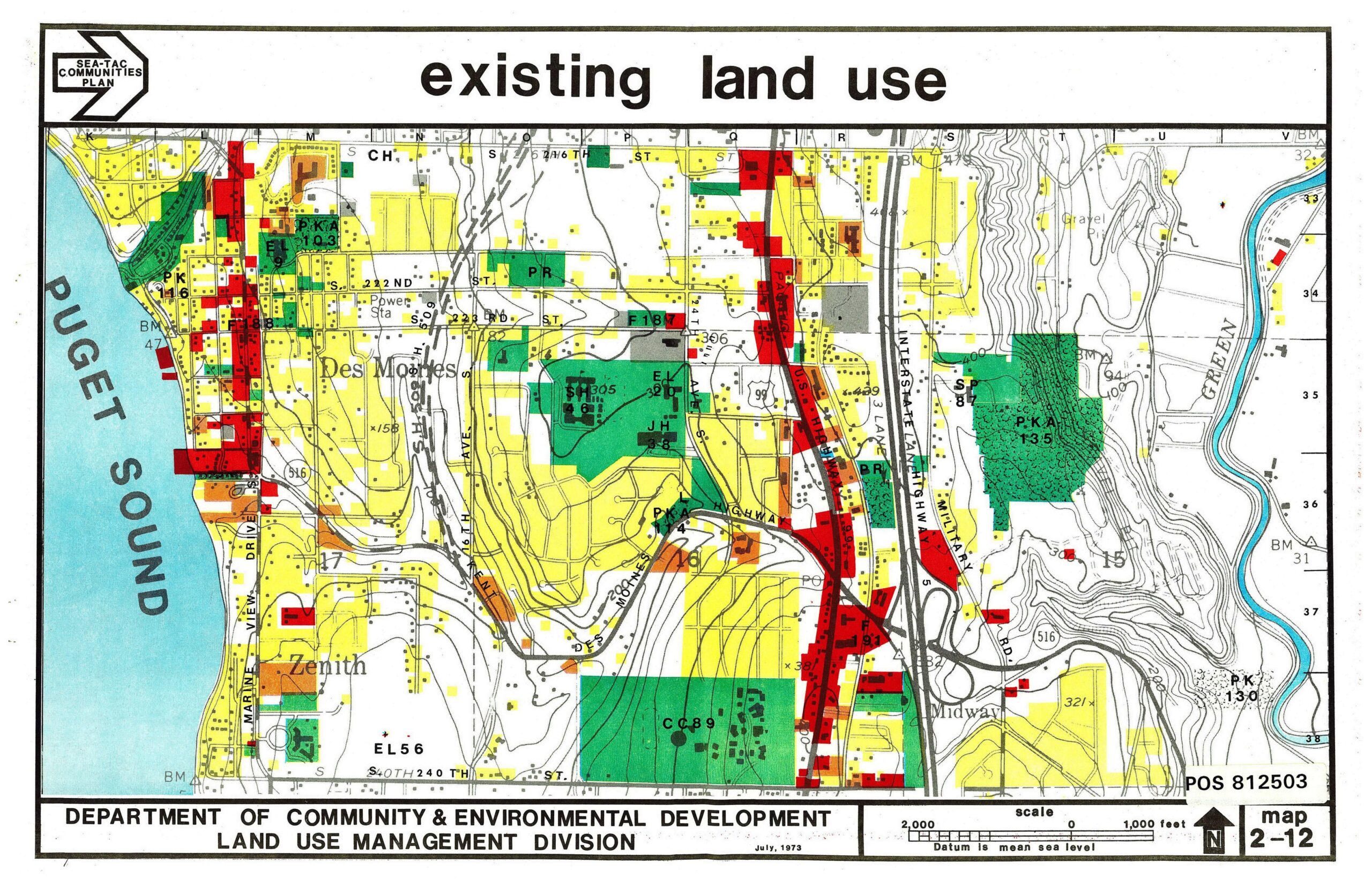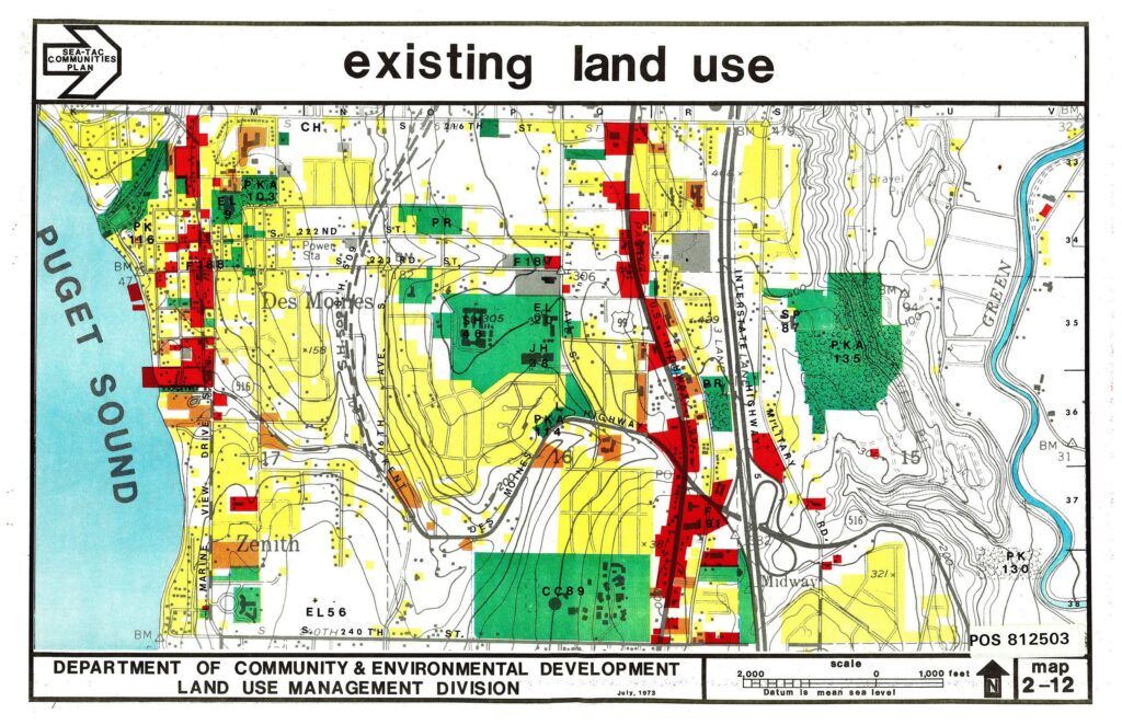
A color-coded existing land use map covering the Des Moines, Zenith, and Midway communities adjacent to Puget Sound, produced by King County's Department of Community & Environmental Development, Land Use Management Division, dated July 1973 (POS 812503). The map shows residential, commercial, industrial, park, and open-space parcels in relation to Interstate Highway 5, Marine View Drive, and the Des Moines area, as part of the Sea-Tac Communities Plan.Open full document
Notes
A color-coded existing land use map covering the Des Moines, Zenith, and Midway communities adjacent to Puget Sound, produced by King County’s Department of Community & Environmental Development, Land Use Management Division, dated July 1973 (POS 812503). The map shows residential, commercial, industrial, park, and open-space parcels in relation to Interstate Highway 5, Marine View Drive, and the Des Moines area, as part of the Sea-Tac Communities Plan.