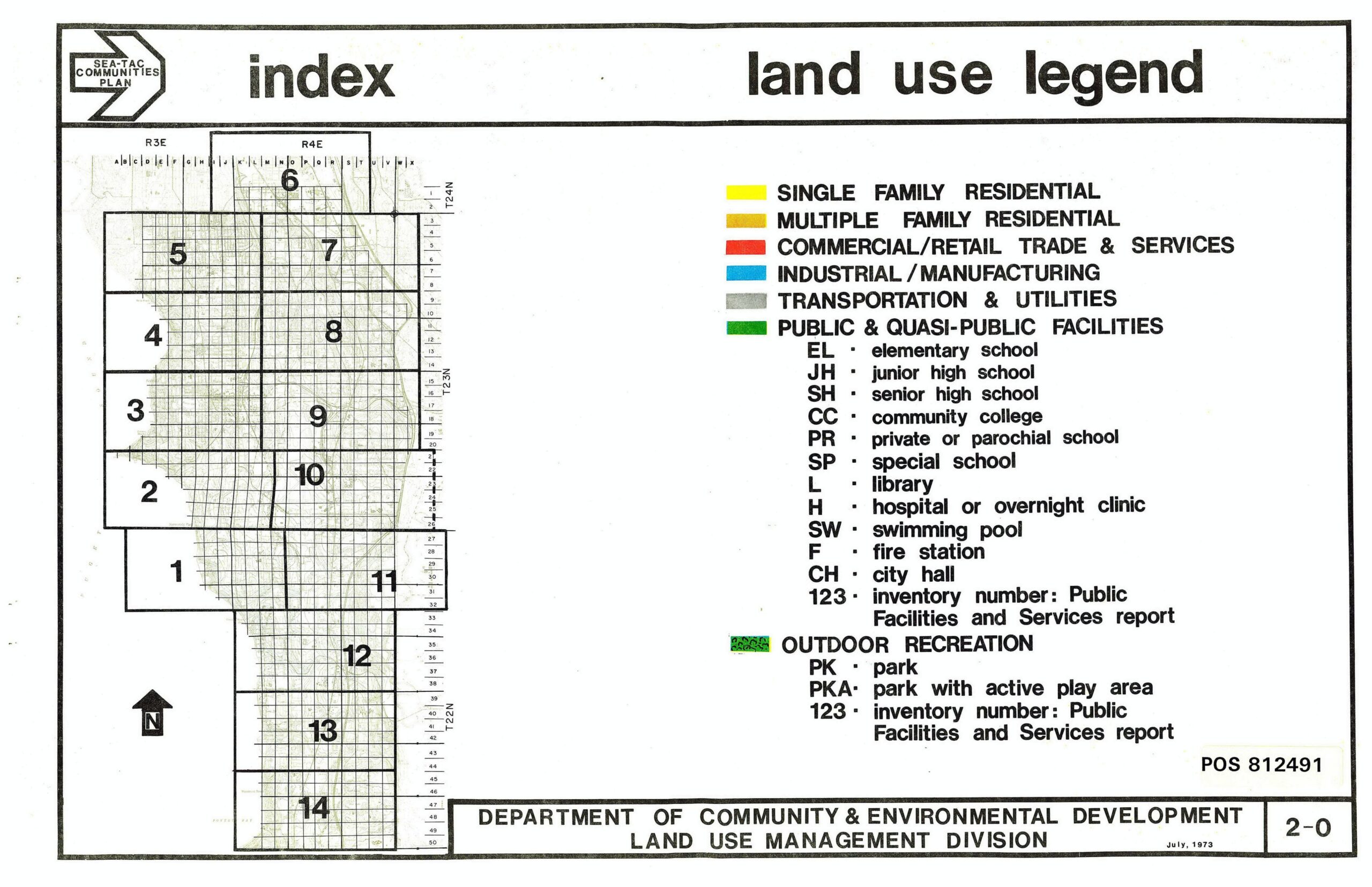
This document, numbered 2-0 and dated July 1973, is the land use legend and index map sheet from the Sea-Tac Communities Plan, produced by King County's Department of Community & Environmental Development, Land Use Management Division (POS 812491). It shows a grid index of 14 map sections covering the Sea-Tac area across Township ranges R3E and R4E, with a color-coded legend identifying land use categories including residential, commercial, industrial, transportation, public facilities, and outdoor recreation.Open full document
Notes
This document, numbered 2-0 and dated July 1973, is the land use legend and index map sheet from the Sea-Tac Communities Plan, produced by King County’s Department of Community & Environmental Development, Land Use Management Division (POS 812491). It shows a grid index of 14 map sections covering the Sea-Tac area across Township ranges R3E and R4E, with a color-coded legend identifying land use categories including residential, commercial, industrial, transportation, public facilities, and outdoor recreation.