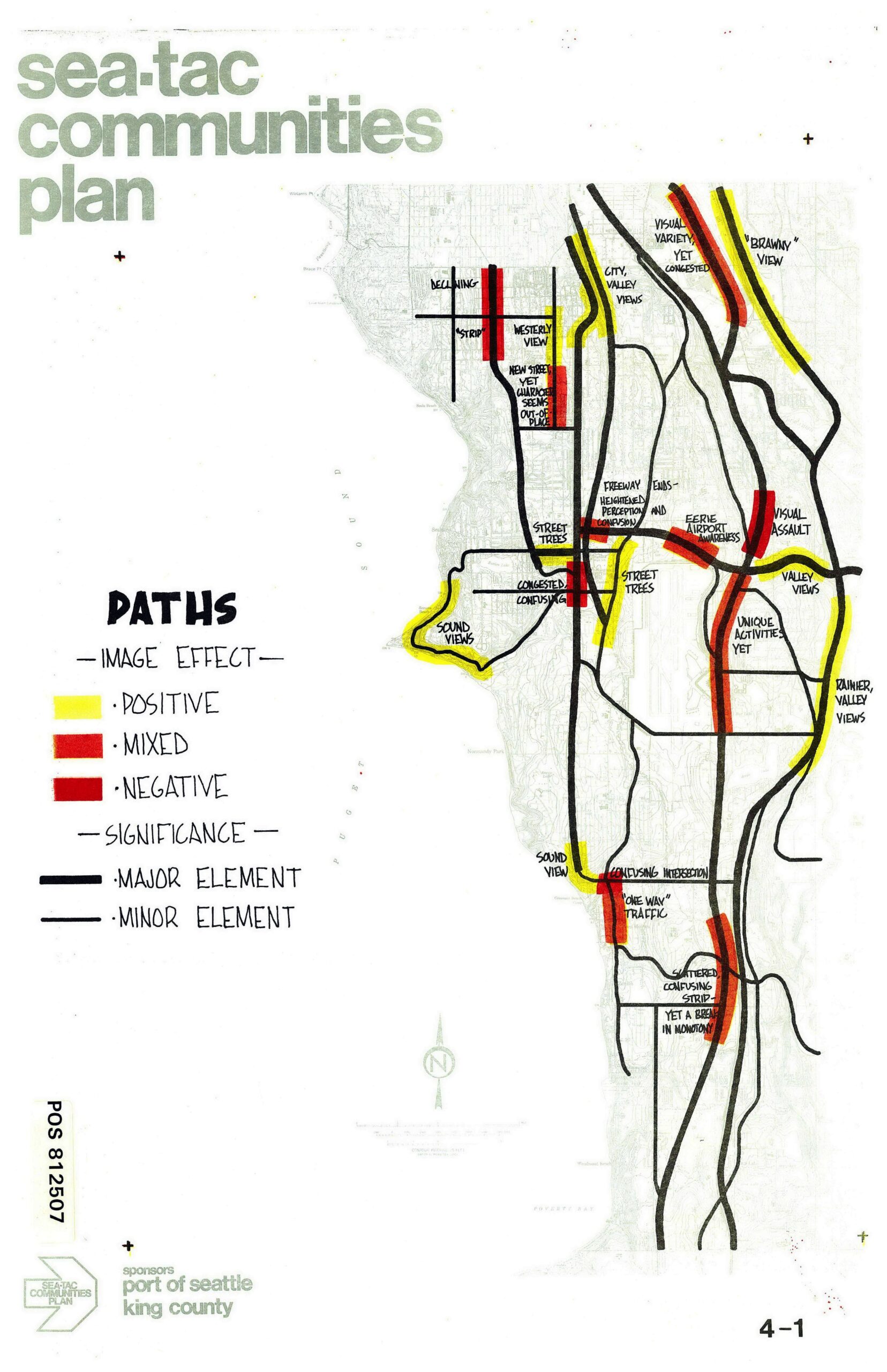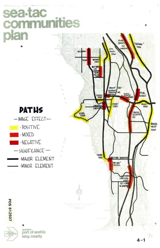
A planning map from the Sea-Tac Communities Plan (POS 812507), sponsored by the Port of Seattle and King County, illustrating major and minor road paths in the Sea-Tac area with color-coded image effects: yellow for positive, orange/mixed for mixed, and red for negative. Annotated locations include references to sound views, valley views, airport awareness, visual assault, congested intersections, and strip commercial areas.Open full document
Notes
A planning map from the Sea-Tac Communities Plan (POS 812507), sponsored by the Port of Seattle and King County, illustrating major and minor road paths in the Sea-Tac area with color-coded image effects: yellow for positive, orange/mixed for mixed, and red for negative. Annotated locations include references to sound views, valley views, airport awareness, visual assault, congested intersections, and strip commercial areas.