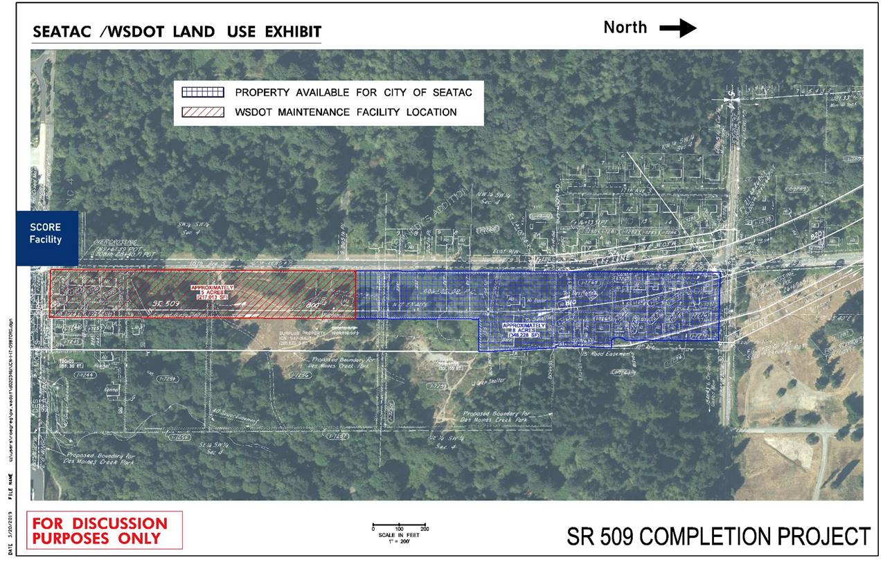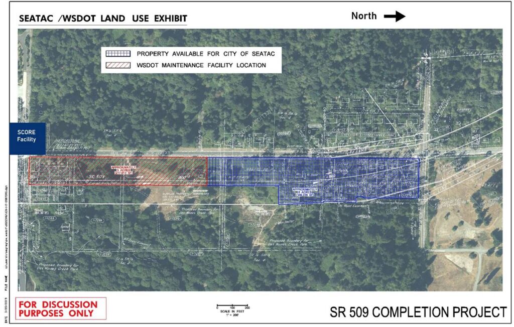
A dated March 20, 2019 aerial land-use exhibit prepared for the SR 509 Completion Project showing WSDOT-controlled parcels along SR 509 near the SCORE Facility. The exhibit delineates approximately 5 acres (217,013 SF) designated as the WSDOT Maintenance Facility location (red/hatched) and approximately 8 acres (349,228 SF) of property available for the City of SeaTac (blue/hatched), and is marked 'For Discussion Purposes Only.'Open full document
Notes
A dated March 20, 2019 aerial land-use exhibit prepared for the SR 509 Completion Project showing WSDOT-controlled parcels along SR 509 near the SCORE Facility. The exhibit delineates approximately 5 acres (217,013 SF) designated as the WSDOT Maintenance Facility location (red/hatched) and approximately 8 acres (349,228 SF) of property available for the City of SeaTac (blue/hatched), and is marked ‘For Discussion Purposes Only.’