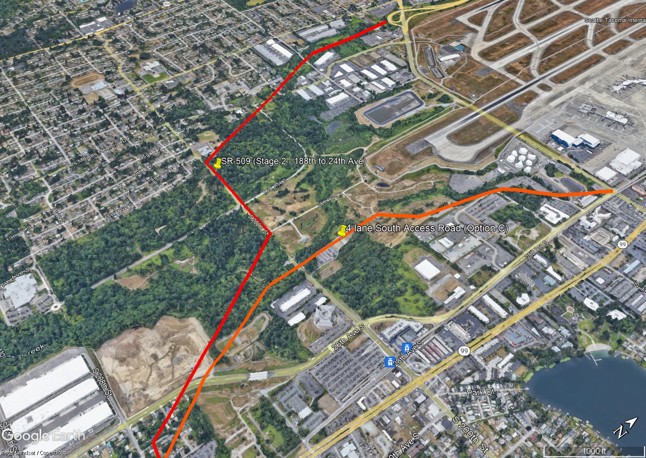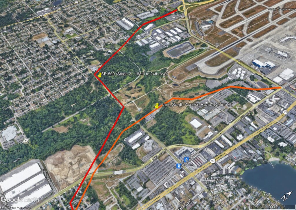
Google Earth aerial image annotated with red lines marking the SR-509 Stage 2 corridor (188th to 24th Ave) and an orange line marking the 4-lane South Access Road (Option C) near Seattle-Tacoma International Airport. The image includes visible text labels, a Google Earth/Landsat/Copernicus watermark, and a scale bar indicating 1000 ft.Open full document
Notes
Google Earth aerial image annotated with red lines marking the SR-509 Stage 2 corridor (188th to 24th Ave) and an orange line marking the 4-lane South Access Road (Option C) near Seattle-Tacoma International Airport. The image includes visible text labels, a Google Earth/Landsat/Copernicus watermark, and a scale bar indicating 1000 ft.