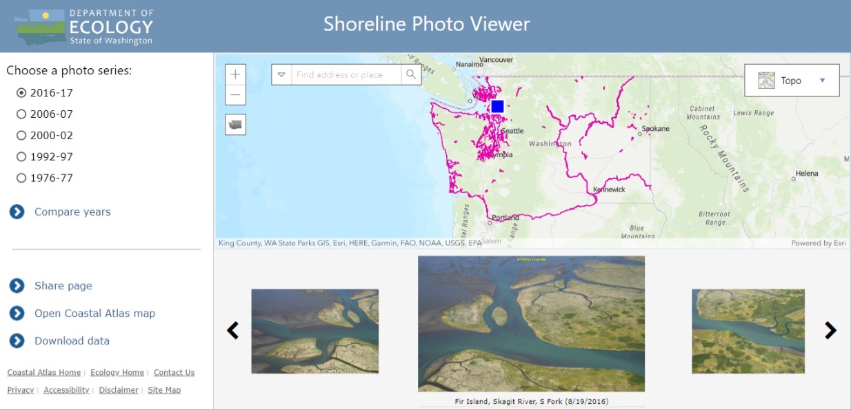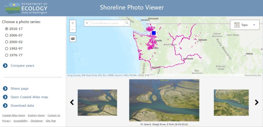
Screenshot of the Washington State Department of Ecology's Shoreline Photo Viewer web application, showing the 2016-17 photo series selected. The highlighted location displays aerial photographs of Fir Island on the Skagit River South Fork, dated 8/19/2016, with a topographic map of Washington State showing shoreline coverage in magenta.Open full document
Notes
An interactive map interface from Washington State Department of Ecology showing aerial photography of Fir Island at the Skagit River South Fork. The viewer allows selection of different photo series from 1976-2017 and displays shoreline imagery for environmental monitoring purposes.