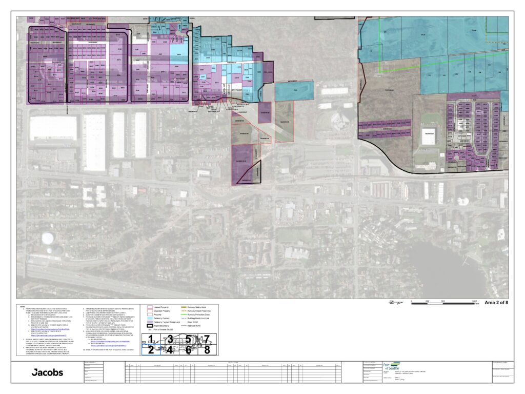
This document is an official property map (Area 2 of 8) for Seattle-Tacoma International Airport, prepared by Jacobs Engineering for the Port of Seattle. It identifies and categorizes airport land parcels — including leased, disposed, federally funded, and noise land properties — along with key boundary features such as runway safety areas, runway protection zones, and building restriction lines. Property data was compiled using Port of Seattle GIS records, King County parcel data, and aerial photography from July 2018, and is intended as a reference document rather than a precise legal survey.Open full document
Notes
This is a property map (Area 2 of 8) for Seattle-Tacoma International Airport, prepared by Jacobs for the Port of Seattle. It depicts airport parcels, leased and disposed properties, federally funded land, noise land boundaries, runway safety areas, and various zone designations using GIS data. Property record research was conducted using Port of Seattle and King County data sources, with aerial photography dated July 2018.