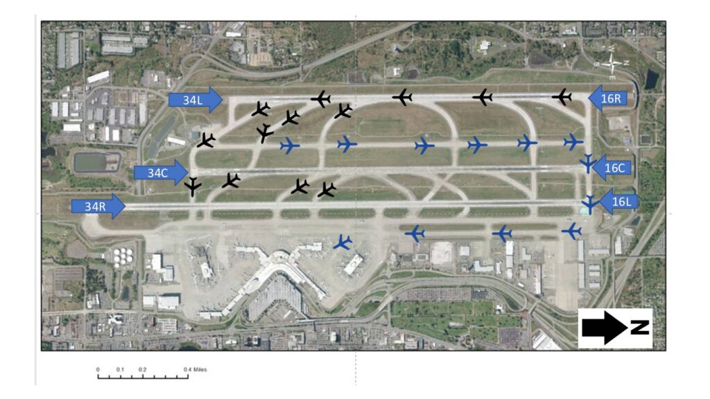
This diagram shows the runway layout at Seattle-Tacoma International Airport (Sea-Tac), illustrating three parallel runway pairs oriented roughly north-south: 34L/16R, 34C/16C, and 34R/16L. Black aircraft icons represent arriving or departing flights on the northern runways, while blue icons indicate traffic on the central and southern runways, reflecting how flight operations are distributed across the airfield. The map is relevant to noise policy discussions as it visually documents the flight paths and runway usage patterns that affect surrounding communities.Open full document
Notes
Aerial satellite map of Sea-Tac Airport showing the three parallel runway configuration with runway designations 34R, 34C, 34L (and their reciprocals 16R, 16C, 16L). Aircraft symbols in black and blue indicate traffic positions on the runways and taxiways. A scale bar and north arrow are included.