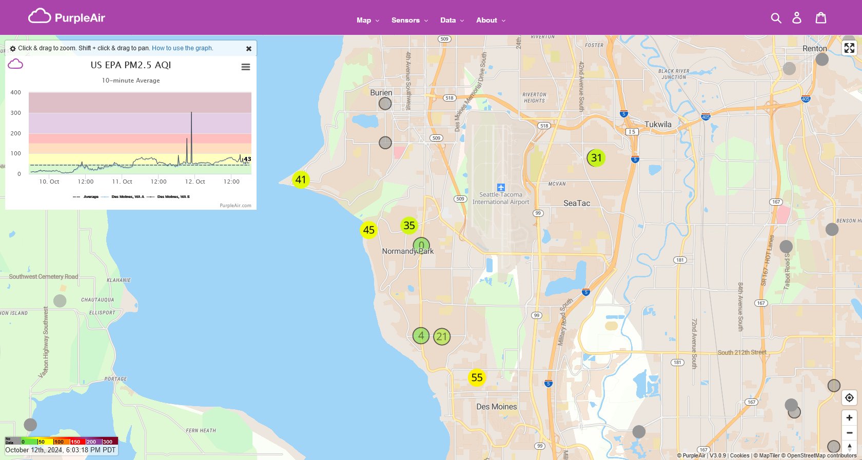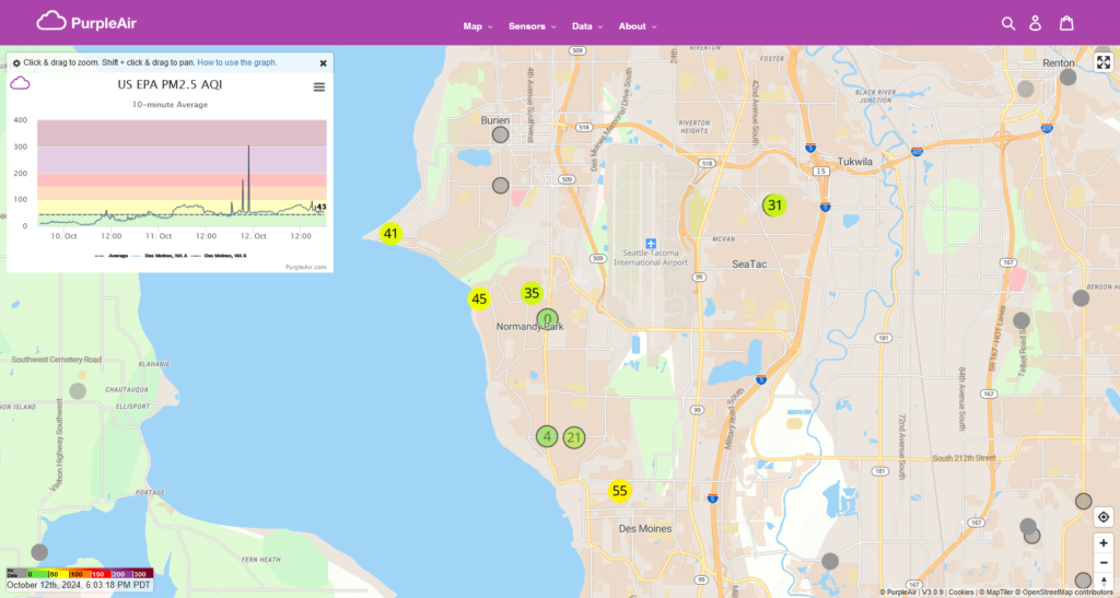
Screenshot from PurpleAir.com dated October 12th, 2024 at 6:03:18 PM PDT, showing a US EPA PM2.5 AQI sensor map centered on the Seattle-Tacoma International Airport vicinity including Normandy Park, Des Moines, SeaTac, and Tukwila. Sensor readings visible range from 4 to 55 AQI, with a 10-minute average time-series graph displayed for Des Moines, WA sensors covering October 10–12, 2024.Open full document
Notes
Screenshot from PurpleAir.com dated October 12th, 2024 at 6:03:18 PM PDT, showing a US EPA PM2.5 AQI sensor map centered on the Seattle-Tacoma International Airport vicinity including Normandy Park, Des Moines, SeaTac, and Tukwila. Sensor readings visible range from 4 to 55 AQI, with a 10-minute average time-series graph displayed for Des Moines, WA sensors covering October 10–12, 2024.