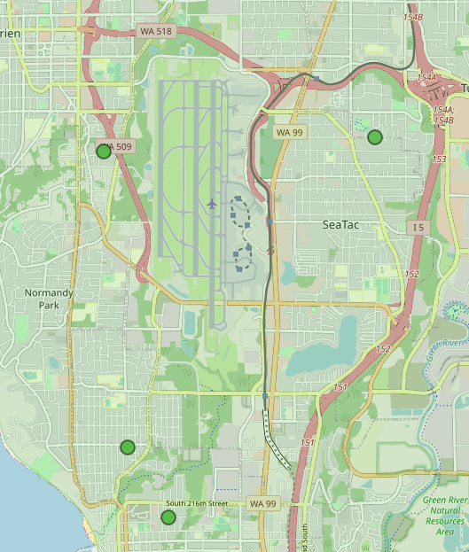
An OpenStreetMap tile showing Seattle-Tacoma International Airport (SEA) with its parallel runways, the surrounding communities of SeaTac, Normandy Park, and Tukwila, and major roadways including WA-99, WA-518, WA-509, and Interstate 15. Several green markers are visible on the map, likely indicating noise monitoring stations or points of interest relevant to airport noise policy.Open full document
Notes
An OpenStreetMap tile showing Seattle-Tacoma International Airport (SEA) with its parallel runways, the surrounding communities of SeaTac, Normandy Park, and Tukwila, and major roadways including WA-99, WA-518, WA-509, and Interstate 15. Several green markers are visible on the map, likely indicating noise monitoring stations or points of interest relevant to airport noise policy.