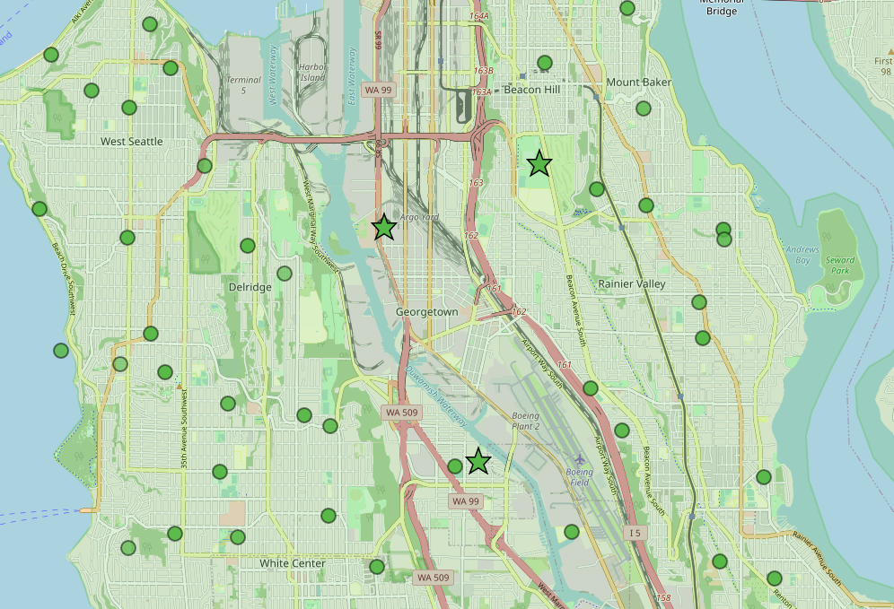
An OpenStreetMap-based map of south and southwest Seattle showing green circle markers (likely noise monitoring stations or complaint locations) and green star markers concentrated near Argo Yard, the Duwamish waterway, Boeing Field (Boeing Plant 2), and the Beacon Hill/Rainier Valley corridor. Visible place names include Georgetown, Delridge, West Seattle, White Center, Rainier Valley, Mount Baker, Beacon Hill, Boeing Field, and highway designations WA 99, WA 509, and I-5.Open full document
Notes
An OpenStreetMap-based map of south and southwest Seattle showing green circle markers (likely noise monitoring stations or complaint locations) and green star markers concentrated near Argo Yard, the Duwamish waterway, Boeing Field (Boeing Plant 2), and the Beacon Hill/Rainier Valley corridor. Visible place names include Georgetown, Delridge, West Seattle, White Center, Rainier Valley, Mount Baker, Beacon Hill, Boeing Field, and highway designations WA 99, WA 509, and I-5.