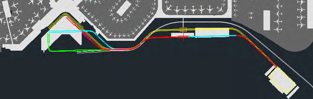
A CAD or GIS plan view showing multiple color-coded route alignments (red, cyan, yellow, green, magenta, white) overlaid on an aerial base map of what appears to be a large commercial airport with terminal buildings and aircraft parking aprons. The diagram likely depicts alternative or phased infrastructure corridors such as an airfield tunnel, people mover, or utility routing study.Open full document
Notes
A CAD or GIS plan view showing multiple color-coded route alignments (red, cyan, yellow, green, magenta, white) overlaid on an aerial base map of what appears to be a large commercial airport with terminal buildings and aircraft parking aprons. The diagram likely depicts alternative or phased infrastructure corridors such as an airfield tunnel, people mover, or utility routing study.