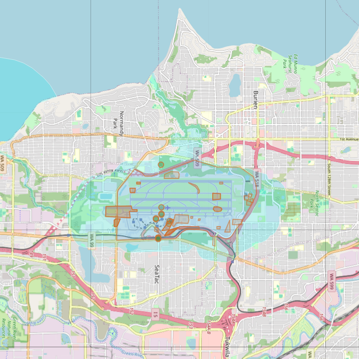
An OpenStreetMap-based map showing Seattle-Tacoma International Airport (Sea-Tac) and surrounding communities including Burien, SeaTac, and Tukwila, Washington. The map displays airport runways, terminals, and nearby road infrastructure including WA-99, WA-509, WA-518, and Interstate 5, with a noise contour overlay (light blue shading) extending around the airport footprint.Open full document
Notes
An OpenStreetMap-based map showing Seattle-Tacoma International Airport (Sea-Tac) and surrounding communities including Burien, SeaTac, and Tukwila, Washington. The map displays airport runways, terminals, and nearby road infrastructure including WA-99, WA-509, WA-518, and Interstate 5, with a noise contour overlay (light blue shading) extending around the airport footprint.