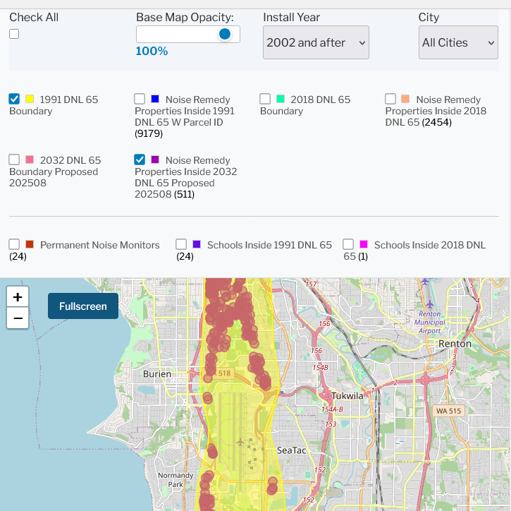
Interactive GIS map displaying multiple Day-Night Level (DNL) 65 noise boundary layers around Seattle-Tacoma International Airport, including the 1991, 2018, and proposed 2032 boundaries, along with noise remedy properties (9179 parcels under 1991 boundary, 2454 under 2018, 511 under proposed 2032), permanent noise monitors (24), and schools inside noise contours. The map covers the cities of Burien, Tukwila, SeaTac, Normandy Park, and Renton.Open full document
Notes
Interactive GIS map displaying multiple Day-Night Level (DNL) 65 noise boundary layers around Seattle-Tacoma International Airport, including the 1991, 2018, and proposed 2032 boundaries, along with noise remedy properties (9179 parcels under 1991 boundary, 2454 under 2018, 511 under proposed 2032), permanent noise monitors (24), and schools inside noise contours. The map covers the cities of Burien, Tukwila, SeaTac, Normandy Park, and Renton.