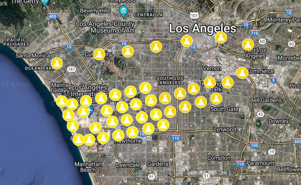
A Google Maps satellite view of the Los Angeles basin showing dozens of yellow pin markers clustered heavily around Los Angeles International Airport (LAX) and extending into surrounding neighborhoods including Inglewood, Hawthorne, El Segundo, and South Los Angeles. The pattern and density of markers is consistent with a noise complaint or noise monitor location map, likely related to LAX flight operations.Open full document
Notes
A Google Maps satellite view of the Los Angeles basin showing dozens of yellow pin markers clustered heavily around Los Angeles International Airport (LAX) and extending into surrounding neighborhoods including Inglewood, Hawthorne, El Segundo, and South Los Angeles. The pattern and density of markers is consistent with a noise complaint or noise monitor location map, likely related to LAX flight operations.