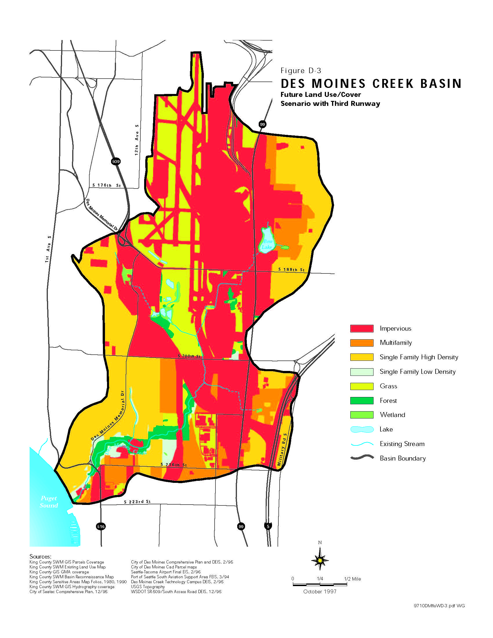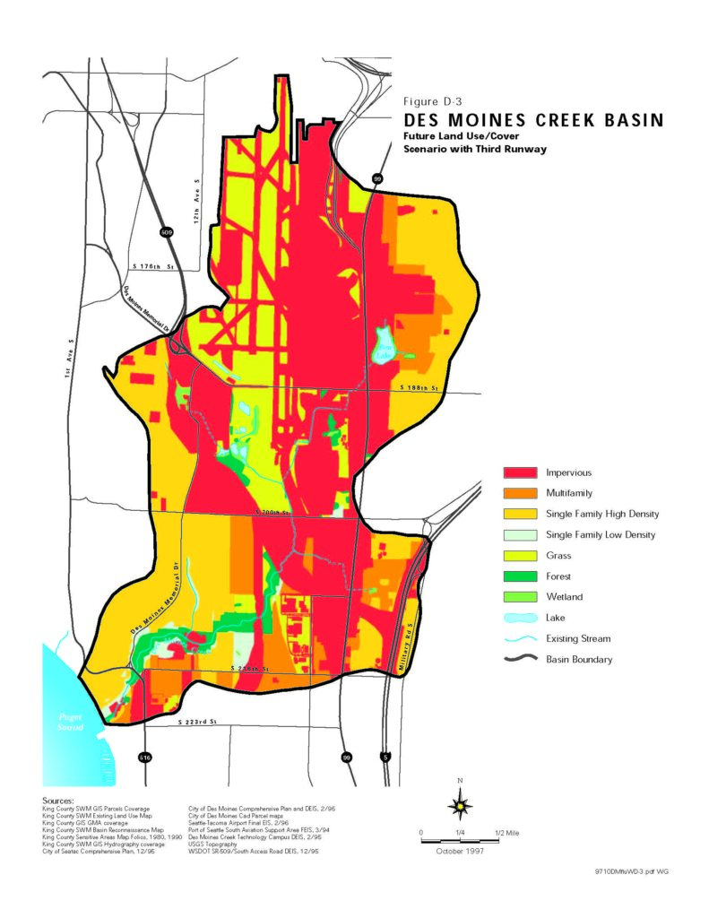
This GIS-based land use map (Figure D-3) depicts the Des Moines Creek Basin under a future land use/cover scenario including a third runway at Seattle-Tacoma Airport, dated October 1997. It shows land cover categories including impervious surfaces, multifamily and single-family residential zones, grass, forest, wetland, lakes, and existing streams, with sources including the Seattle-Tacoma Airport Final EIS (2/96) and the Port of Seattle South Aviation Support Area FEIS (3/94).Open full document
Notes
This GIS-based land use map (Figure D-3) depicts the Des Moines Creek Basin under a future land use/cover scenario including a third runway at Seattle-Tacoma Airport, dated October 1997. It shows land cover categories including impervious surfaces, multifamily and single-family residential zones, grass, forest, wetland, lakes, and existing streams, with sources including the Seattle-Tacoma Airport Final EIS (2/96) and the Port of Seattle South Aviation Support Area FEIS (3/94).