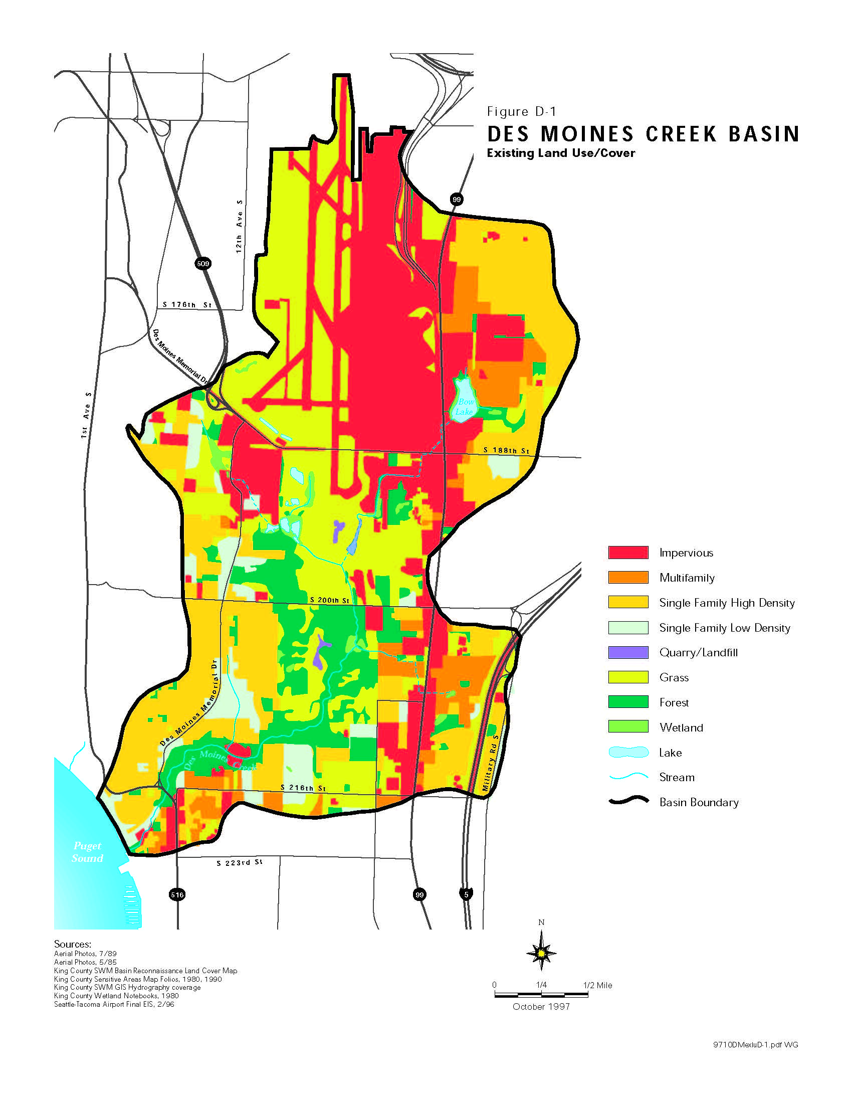
This is Figure D-1 from a King County/Seattle-Tacoma Airport planning document, dated October 1997, showing the Des Moines Creek Basin existing land use and cover. The map depicts land classifications including impervious surfaces (notably the Seattle-Tacoma Airport runway area in the north), multifamily, single family residential, grass, forest, wetlands, and lakes within the basin boundary, with sources citing King County SWM Basin data and the Seattle-Tacoma Airport Final EIS dated 2/96.Open full document
Notes
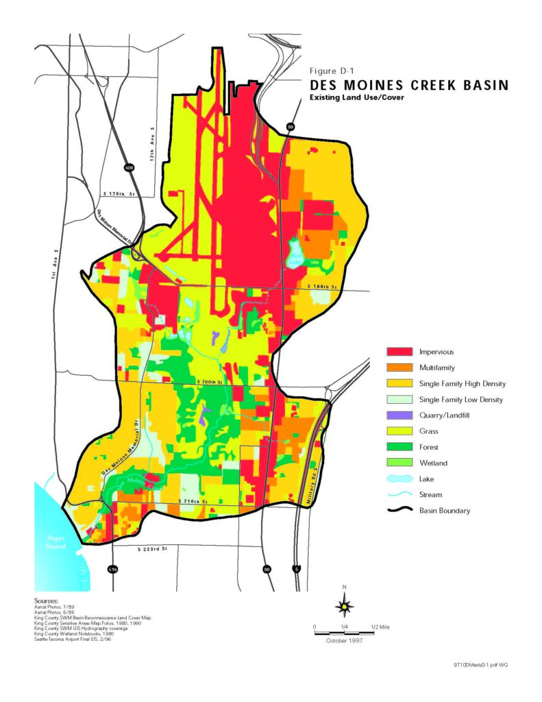
This is Figure D-1 from a King County/Seattle-Tacoma Airport planning document, dated October 1997, showing the Des Moines Creek Basin existing land use and cover. The map depicts land classifications including impervious surfaces (notably the Seattle-Tacoma Airport runway area in the north), multifamily, single family residential, grass, forest, wetlands, and lakes within the basin boundary, with sources citing King County SWM Basin data and the Seattle-Tacoma Airport Final EIS dated 2/96.