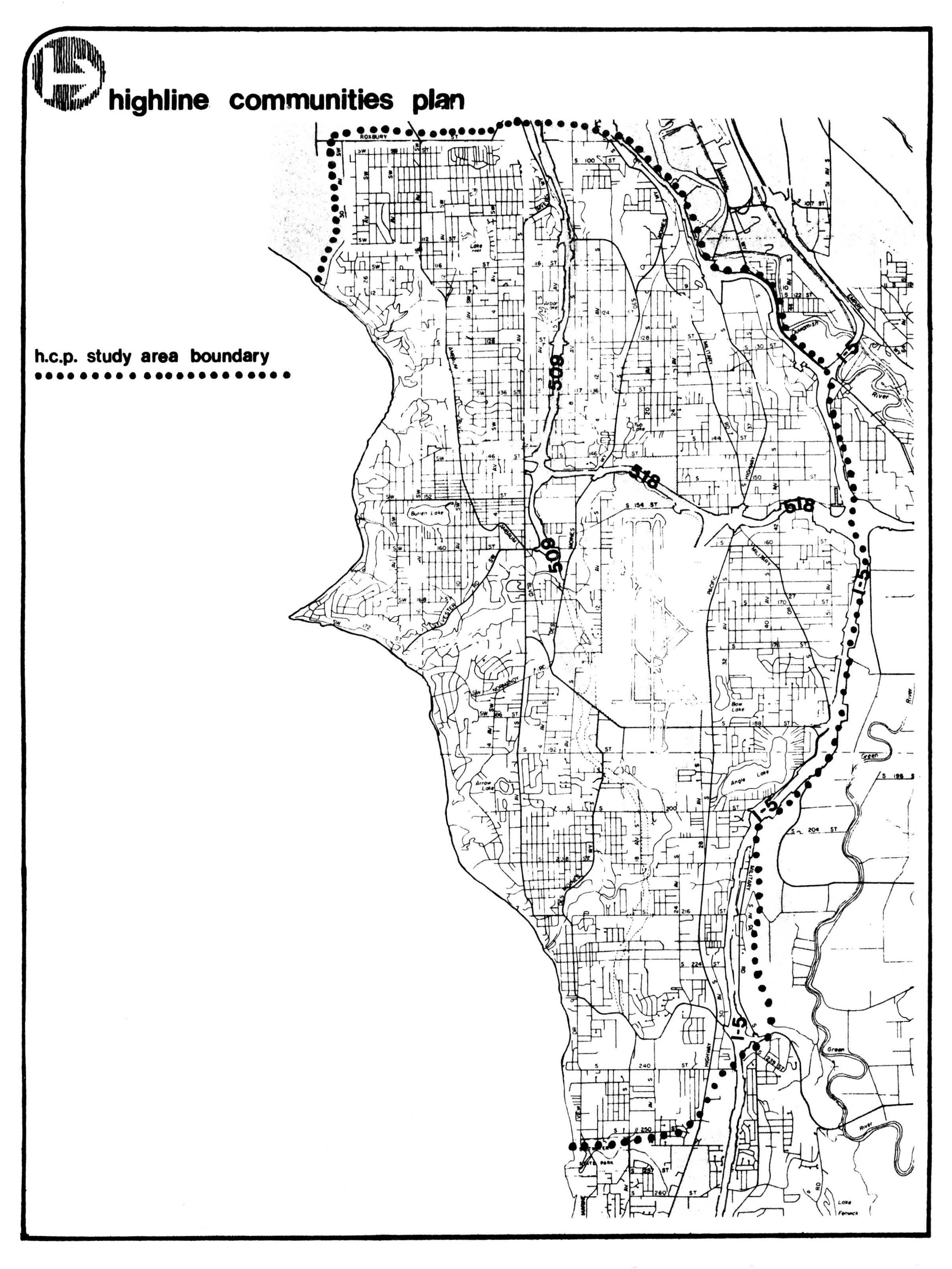
A black-and-white planning map titled 'Highline Communities Plan' showing the HCP study area boundary (marked by a dotted line) covering the Highline area south of Seattle, including visible route numbers (509, 518, 619, I-5) and geographic features such as Burien Lake and Angle Lake. This document appears to be from a King County or Seattle-area community planning effort relevant to the Sea-Tac Airport noise impact zone.Open full document
Notes
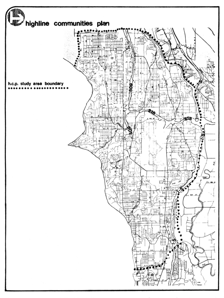
A black-and-white planning map titled ‘Highline Communities Plan’ showing the HCP study area boundary (marked by a dotted line) covering the Highline area south of Seattle, including visible route numbers (509, 518, 619, I-5) and geographic features such as Burien Lake and Angle Lake. This document appears to be from a King County or Seattle-area community planning effort relevant to the Sea-Tac Airport noise impact zone.