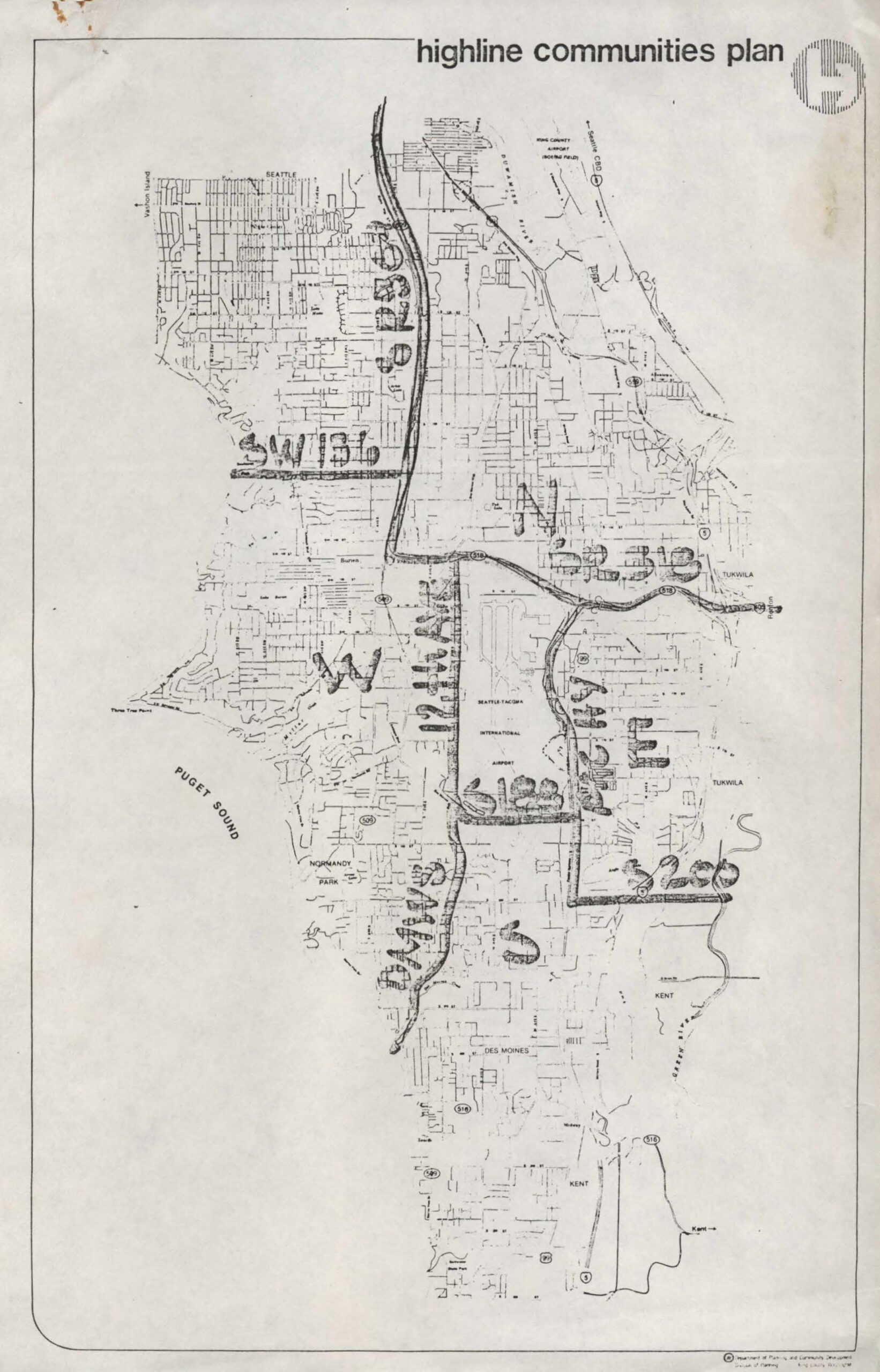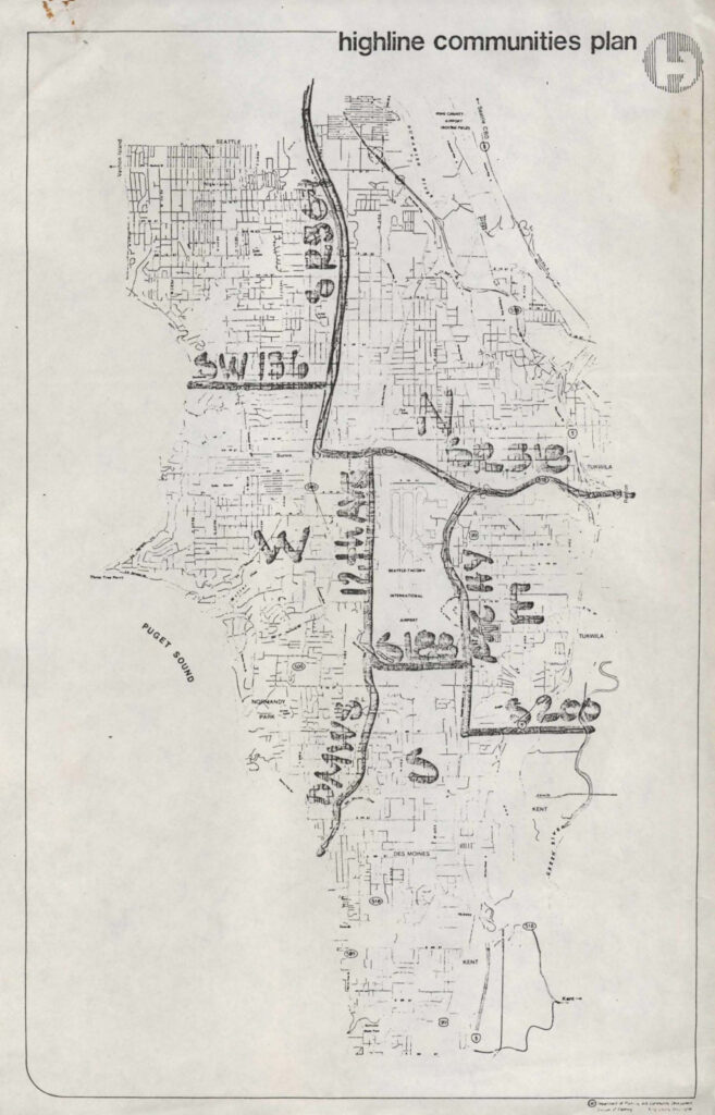
A planning map titled 'Highline Communities Plan' produced by the King County Department of Planning and Community Development, depicting the Highline area south of Seattle including neighborhoods and landmarks such as Seattle-Tacoma International Airport, Normandy Park, Des Moines, Tukwila, Kent, Burien, and Puget Sound. The map shows street grids, transportation corridors, and municipal boundaries relevant to the airport's surrounding communities.Open full document
Notes
A planning map titled ‘Highline Communities Plan’ produced by the King County Department of Planning and Community Development, depicting the Highline area south of Seattle including neighborhoods and landmarks such as Seattle-Tacoma International Airport, Normandy Park, Des Moines, Tukwila, Kent, Burien, and Puget Sound. The map shows street grids, transportation corridors, and municipal boundaries relevant to the airport’s surrounding communities.