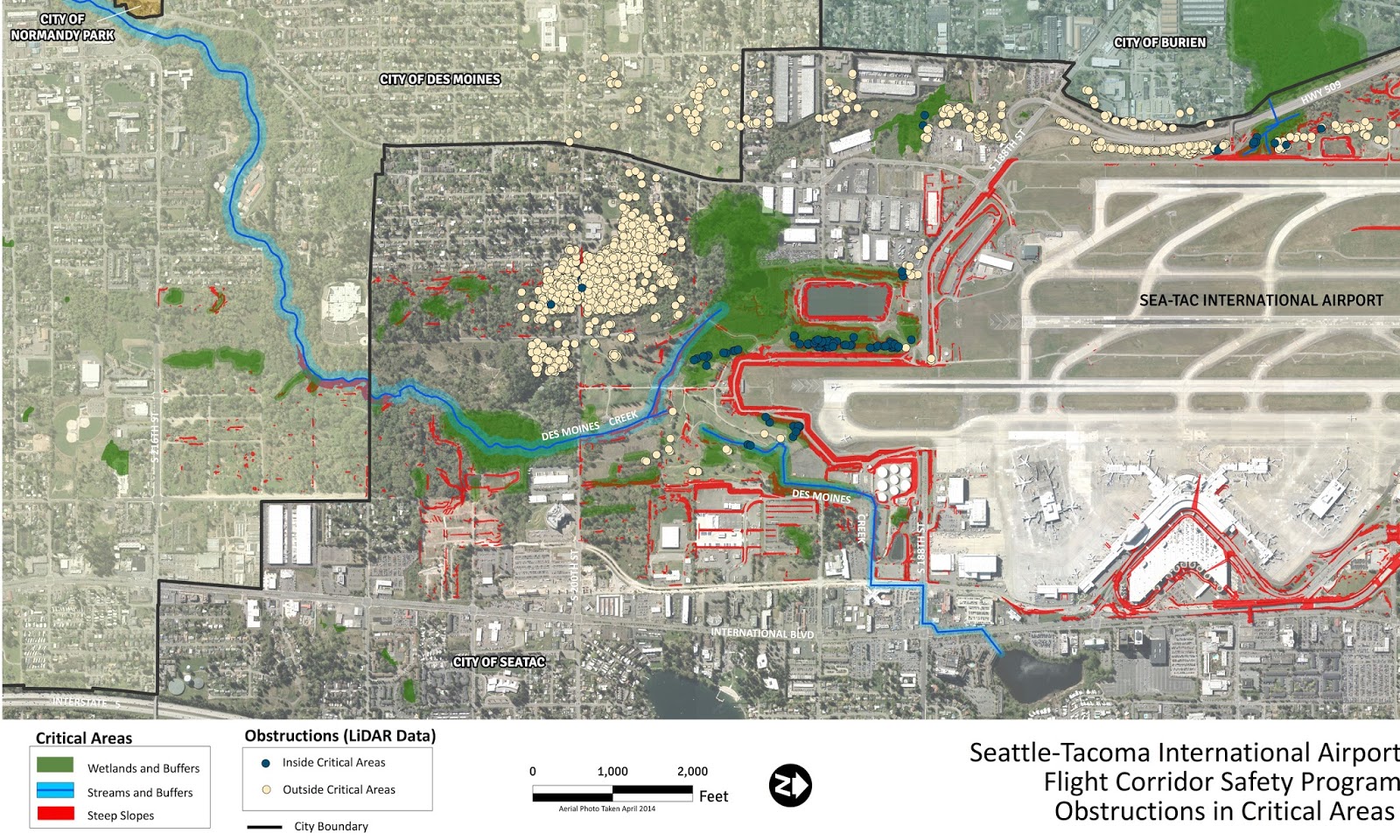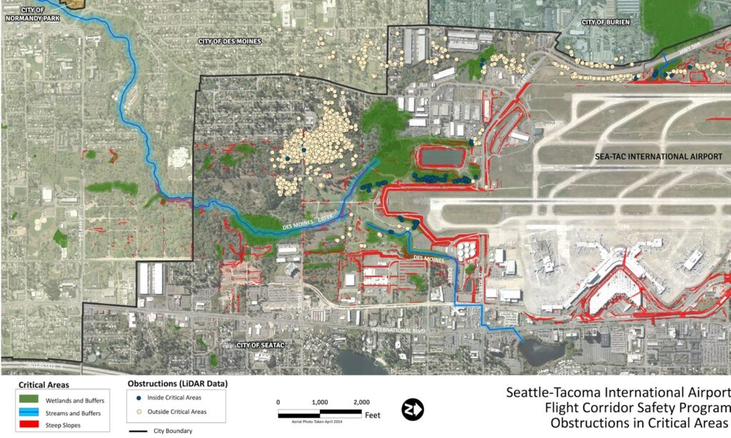
This aerial map, dated April 2014, depicts LiDAR-identified flight corridor obstructions in critical areas surrounding Seattle-Tacoma International Airport, covering portions of the Cities of Des Moines, SeaTac, Burien, and Normandy Park. Critical areas shown include wetlands and buffers (green), streams and buffers (blue), and steep slopes (red), with obstructions classified as either inside or outside critical areas.Open full document
Notes
This aerial map, dated April 2014, depicts LiDAR-identified flight corridor obstructions in critical areas surrounding Seattle-Tacoma International Airport, covering portions of the Cities of Des Moines, SeaTac, Burien, and Normandy Park. Critical areas shown include wetlands and buffers (green), streams and buffers (blue), and steep slopes (red), with obstructions classified as either inside or outside critical areas.