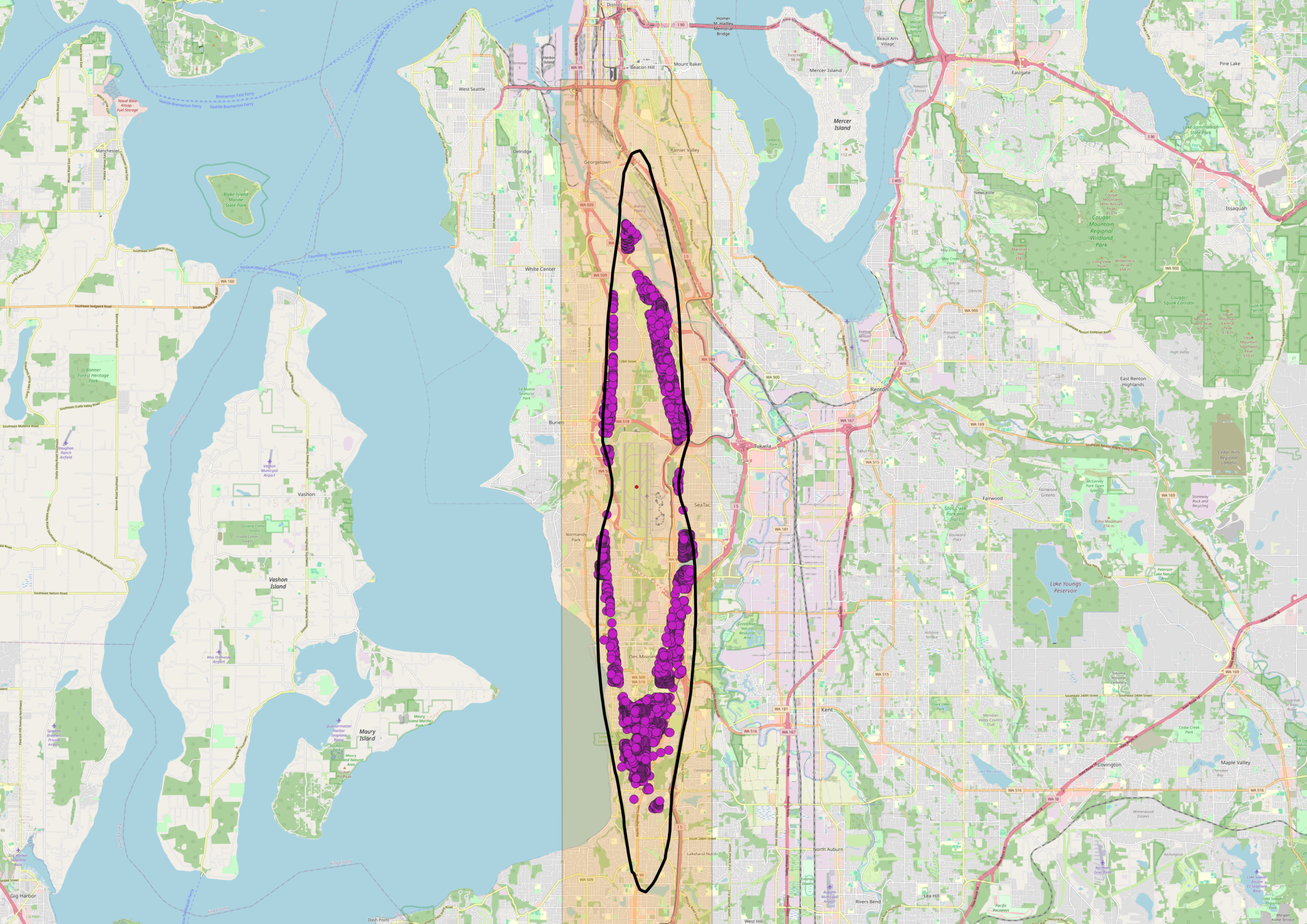
A GIS map centered on the Seattle/South Seattle area showing a north-south oriented elliptical boundary overlay on what appears to be a flight corridor, with numerous purple data points clustered along two parallel tracks within the corridor. The map extends from downtown Seattle southward through Tukwila toward the Sea-Tac Airport area, suggesting this depicts noise complaint locations or flight track concentrations within a defined study zone.Open full document
Notes
Purgatory Packages: Outside current DNL65