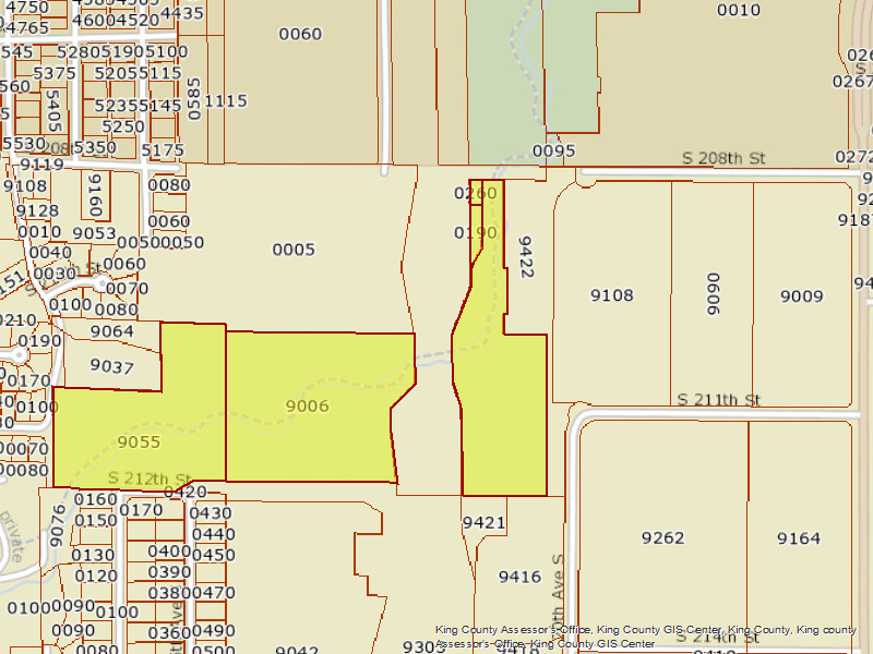
A King County Assessor's Office GIS parcel map showing tax parcels (labeled with parcel numbers such as 9006, 9055, 9037, 9108, 9422, etc.) in the vicinity of S 208th Street and S 211th Street, near Sea-Tac Airport. The watermark reads 'King County Assessor's Office, King County GIS Center, King County, King County Assessor's Office–King County GIS Center.'Open full document
Notes
A King County Assessor’s Office GIS parcel map showing tax parcels (labeled with parcel numbers such as 9006, 9055, 9037, 9108, 9422, etc.) in the vicinity of S 208th Street and S 211th Street, near Sea-Tac Airport. The watermark reads ‘King County Assessor’s Office, King County GIS Center, King County, King County Assessor’s Office–King County GIS Center.’