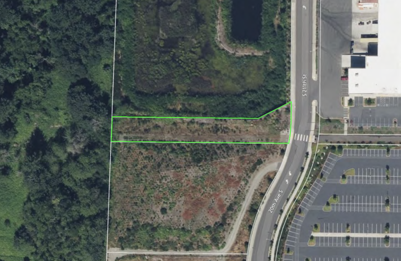
Satellite/aerial image showing a green-outlined parcel of undeveloped land at the intersection of S 211th Street and 20th Ave S, adjacent to a large commercial building with parking lots visible to the right. The parcel appears to be vacant scrubland bordering a forested area, consistent with land-use mapping near Seattle-Tacoma International Airport.Open full document
Notes
Satellite/aerial image showing a green-outlined parcel of undeveloped land at the intersection of S 211th Street and 20th Ave S, adjacent to a large commercial building with parking lots visible to the right. The parcel appears to be vacant scrubland bordering a forested area, consistent with land-use mapping near Seattle-Tacoma International Airport.