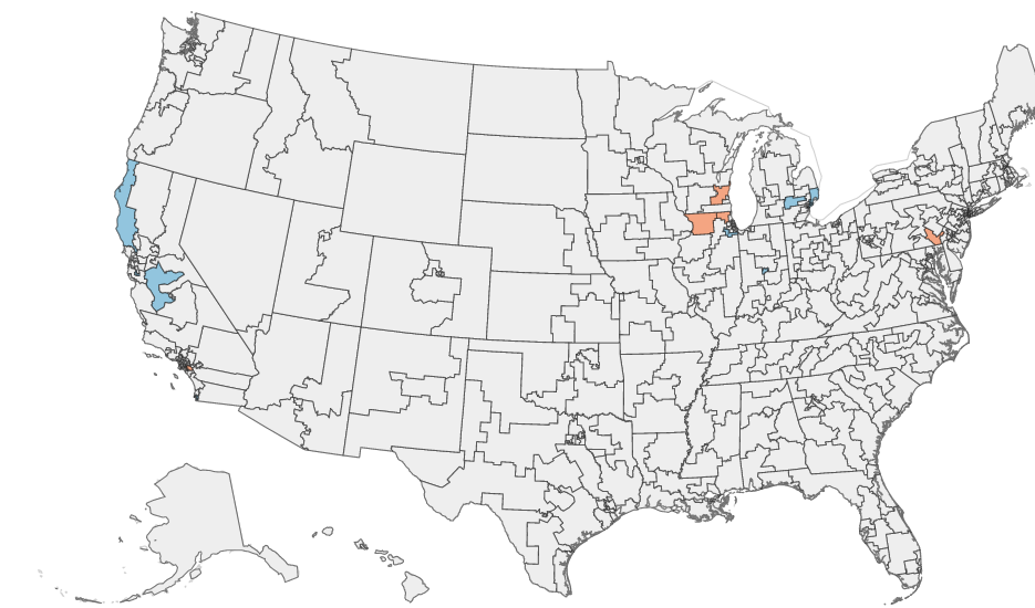
A map of the contiguous United States displaying county or district boundaries, with select areas highlighted in blue (primarily in California and the Pacific Northwest) and orange/red (primarily in the mid-Atlantic region, including areas around Maryland/Virginia). No labels, title, or legend are visible to identify the specific data being represented.Open full document
Notes
A map of the contiguous United States displaying county or district boundaries, with select areas highlighted in blue (primarily in California and the Pacific Northwest) and orange/red (primarily in the mid-Atlantic region, including areas around Maryland/Virginia). No labels, title, or legend are visible to identify the specific data being represented.