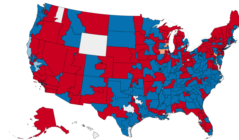
A choropleth map of the United States showing districts or counties colored in red and blue, likely representing Republican and Democratic party affiliations or election results. One state (Wyoming) appears white/uncolored, and a small area near the Great Lakes is shaded in a neutral orange-tan color, possibly indicating a third-party result or missing data.Open full document
Notes
A choropleth map of the United States showing districts or counties colored in red and blue, likely representing Republican and Democratic party affiliations or election results. One state (Wyoming) appears white/uncolored, and a small area near the Great Lakes is shaded in a neutral orange-tan color, possibly indicating a third-party result or missing data.