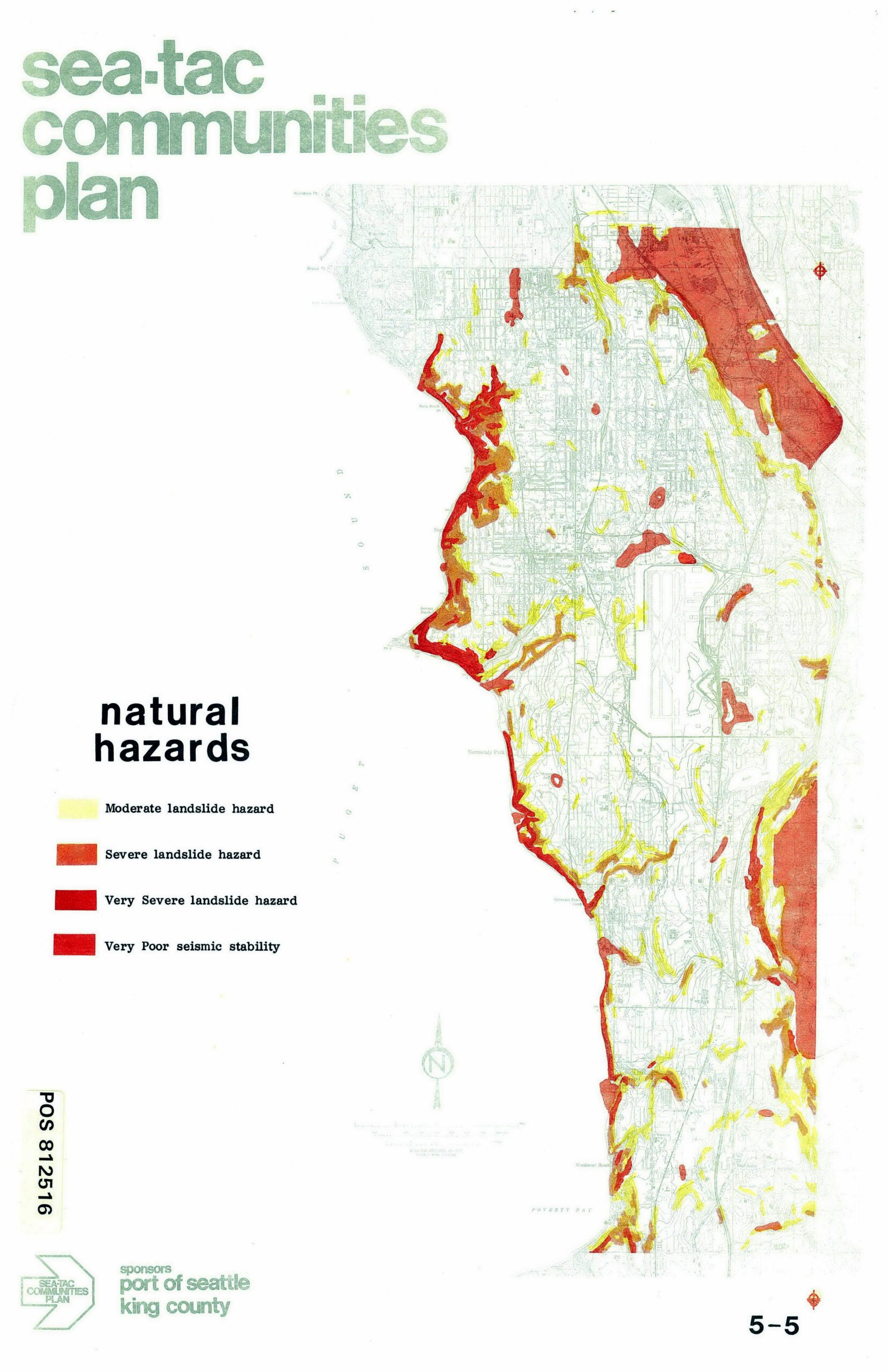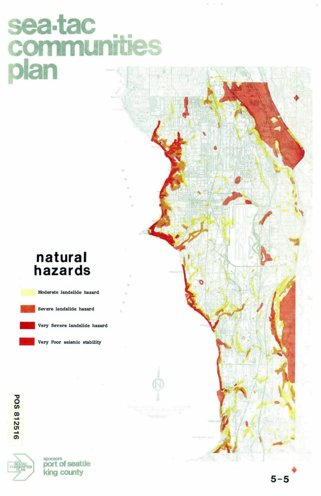
A natural hazards map from the Sea-Tac Communities Plan (POS 812516), sponsored by the Port of Seattle and King County, depicting moderate, severe, and very severe landslide hazard zones as well as areas of very poor seismic stability across the Sea-Tac communities area. The western shoreline along Puget Sound shows the highest concentration of very severe landslide hazard, while the northeastern portion shows a large zone of very poor seismic stability.Open full document
Notes
A natural hazards map from the Sea-Tac Communities Plan (POS 812516), sponsored by the Port of Seattle and King County, depicting moderate, severe, and very severe landslide hazard zones as well as areas of very poor seismic stability across the Sea-Tac communities area. The western shoreline along Puget Sound shows the highest concentration of very severe landslide hazard, while the northeastern portion shows a large zone of very poor seismic stability.