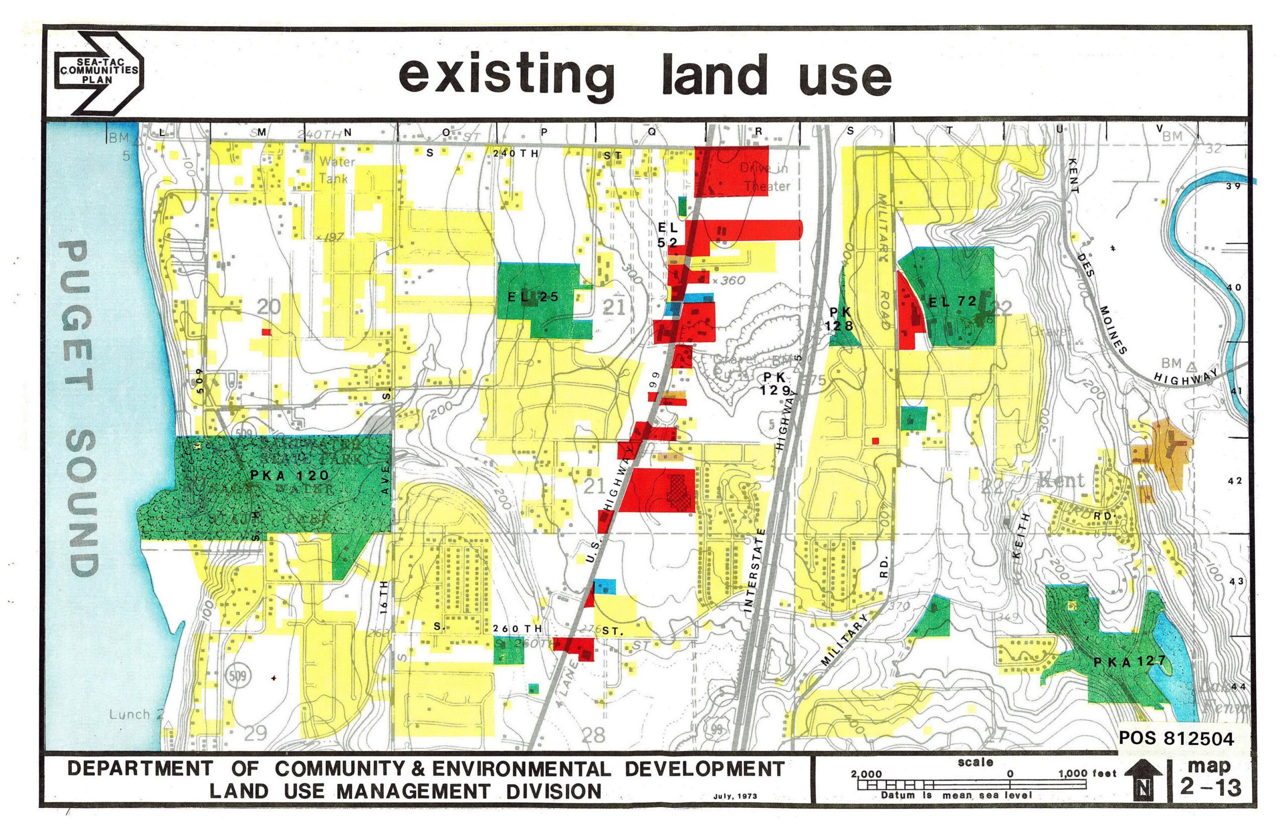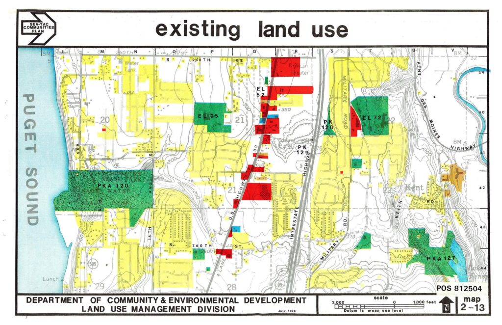
A color-coded existing land use map (Map 2-13, POS 812504) produced by King County's Department of Community & Environmental Development, Land Use Management Division, dated July 1973, as part of the Sea-Tac Communities Plan. The map covers the area along Puget Sound east through the U.S. Highway 99 / Interstate 5 corridor near the Kent–Des Moines area, showing residential (yellow), commercial (red), park/open space (green), and other land use categories, with labeled features including schools (EL 52, EL 25, EL 72), parks (PK 128, PK 129, PKA 120, PKA 127), a Drive-In Theater, and Military Road.Open full document
Notes
A color-coded existing land use map (Map 2-13, POS 812504) produced by King County’s Department of Community & Environmental Development, Land Use Management Division, dated July 1973, as part of the Sea-Tac Communities Plan. The map covers the area along Puget Sound east through the U.S. Highway 99 / Interstate 5 corridor near the Kent–Des Moines area, showing residential (yellow), commercial (red), park/open space (green), and other land use categories, with labeled features including schools (EL 52, EL 25, EL 72), parks (PK 128, PK 129, PKA 120, PKA 127), a Drive-In Theater, and Military Road.